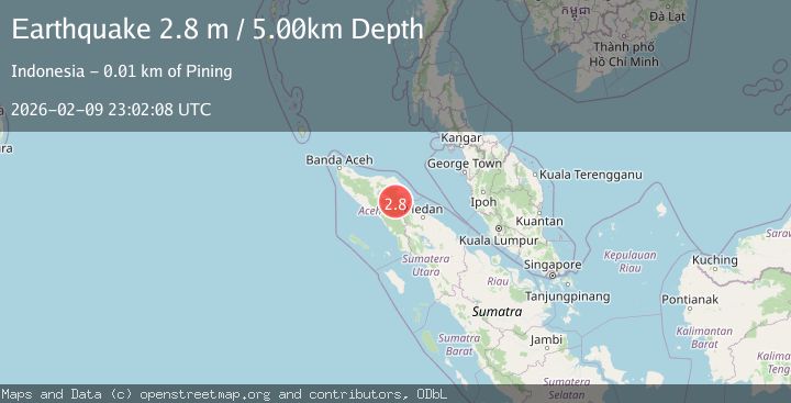
Earthquake NORTHERN SUMATRA, INDONESIA
Mon, 09 Feb 2026 23:02:08 GMT
Time6 hours ago
Location
4.2200, 97.5600
Depth
5.0 KM
Event Summary
A 2.8 magnitude earthquake struck on NORTHERN SUMATRA, INDONESIA, at Mon, 09 Feb 2026 23:02:08 GMT. Depth: 5km. Reviewed by BMKG seismologists, this minor quake occurred at a magnitude type of m.
Magnitude
2.8
m
Source
BMKG
Intensity
-
Agency Reports
1 Sources| Source | Magnitude | Depth | Time |
|---|---|---|---|
| BMKGPrimary | 2.8 | 5 km | 6 hours ago |
Earthquake Details
AutomaticEvent IDemsc_BMKG_20260209_0000386
Tsunami PotentialNo
Magnitude Typem
Nearest Places
- Burni Tui2.3 km
- Arul Kelalang2.4 km
- Waihni Kalaserdang2.5 km
- Burni Kepayang3.1 km
- Waihni Geluni3.1 km
Comments
Join the discussion about this event.
Latest Earthquakes
1.5Mag
SWITZERLAND
Time5 hours ago
Depth20.70 km
SourceETHZ (Automatic)
3.7Mag
Banda Sea
Time5 hours ago
Depth132.11 km
SourceBMKG (Automatic)
3.3Mag
Near North Coast of West Papua
Time5 hours ago
Depth102.13 km
SourceBMKG (Automatic)
3.5Mag
MINDANAO, PHILIPPINES
Time5 hours ago
Depth10.00 km
SourceBMKG (Automatic)
0.8Mag
8 km NW of The Geysers, CA
Time6 hours ago
Depth2.52 km
SourceUSGS (Automatic)
Nearby Earthquakes
3.0Mag
Northern Sumatra, Indonesia
Time6 days ago
Depth3.00 km
SourceBMKG (Automatic)
2.3Mag
Northern Sumatra, Indonesia
Time1 week ago
Depth5.00 km
SourceBMKG (Automatic)
3.0Mag
Northern Sumatra, Indonesia
Time5 days ago
Depth3.00 km
SourceBMKG (Automatic)
2.2Mag
Northern Sumatra, Indonesia
Time2 weeks ago
Depth1.65 km
SourceBMKG (Automatic)
2.2Mag
Northern Sumatra, Indonesia
Time1 week ago
Depth5.00 km
SourceBMKG (Automatic)