Earthquake NEAR S COAST OF PAPUA, INDONESIA
Thu, 15 Jan 2026 04:54:00 GMT
Time1 month ago
Location
-3.7100, 132.5400
Depth
10.0 KM
Event Summary
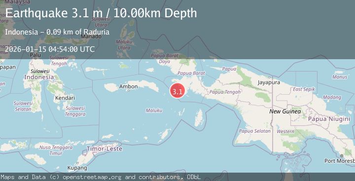
A 3.1 magnitude earthquake struck on NEAR S COAST OF PAPUA, INDONESIA, at Thu, 15 Jan 2026 04:54:00 GMT. Depth: 10km. Reviewed by BMKG seismologists, this minor quake occurred at a magnitude type of m.
Magnitude
3.1
m
Source
BMKG
Intensity
-
Agency Reports
1 Sources| Source | Magnitude | Depth | Time |
|---|---|---|---|
| BMKGPrimary | 3.1 | 10 km | 1 month ago |
Earthquake Details
AutomaticEvent IDemsc_BMKG_20260115_0000057
Tsunami PotentialNo
Magnitude Typem
Nearest Places
- Tandjoeng19.7 km
- Tanjung Tongerai22.3 km
- Gunung Baik25.3 km
- Kasurai25.7 km
- Tanjung Maniiem26.7 km
Comments
Join the discussion about this event.
Latest Earthquakes
2.1Mag
Poland
Time1 minute ago
Depth1.95 km
SourceVYT (Automatic)
1.7Mag
2 km NW of Enterprise, Nevada
Time10 minutes ago
Depth15.89 km
SourceUSGS (Automatic)
1.3Mag
Southeastern Alaska
Time11 minutes ago
Depth7.20 km
SourceVYT (Automatic)
0.8Mag
39 km NE of Amboy, Washington
Time12 minutes ago
Depth7.36 km
SourceUSGS (Automatic)
3.2Mag
ANDHRA PRADESH, INDIA
Time17 minutes ago
Depth4.70 km
SourceNDI (Automatic)
Nearby Earthquakes
4.4Mag
Papua region, Indonesia
Time1 week ago
Depth585.69 km
SourceVYT (Automatic)
3.1Mag
West Papua Region, Indonesia
Time3 weeks ago
Depth10.00 km
SourceBMKG (Automatic)
2.9Mag
West Papua Region, Indonesia
Time2 weeks ago
Depth16.58 km
SourceBMKG (Automatic)
3.1Mag
West Papua Region, Indonesia
Time5 days ago
Depth10.20 km
SourceBMKG
5.1Mag
NEAR S COAST OF PAPUA, INDONESIA
Time7 months ago
Depth10.00 km
SourceEMSC (Automatic)