Earthquake SOUTH OF SUMBAWA, INDONESIA
Thu, 15 Jan 2026 18:37:05 GMT
Time1 month ago
Location
-10.1000, 118.8000
Depth
23.0 KM
Event Summary
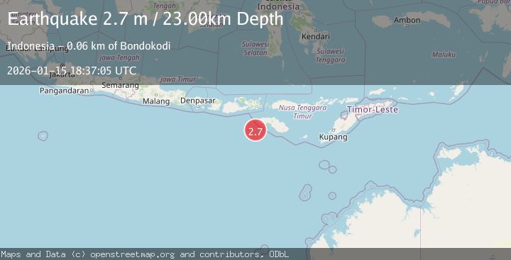
A 2.7 magnitude earthquake struck on SOUTH OF SUMBAWA, INDONESIA, at Thu, 15 Jan 2026 18:37:05 GMT. Depth: 23km. Reviewed by BMKG seismologists, this minor quake occurred at a magnitude type of m.
Magnitude
2.7
m
Source
BMKG
Intensity
-
Agency Reports
1 Sources| Source | Magnitude | Depth | Time |
|---|---|---|---|
| BMKGPrimary | 2.7 | 23 km | 1 month ago |
Earthquake Details
AutomaticEvent IDemsc_BMKG_20260115_0000291
Tsunami PotentialNo
Magnitude Typem
Nearest Places
- Tanjung Waikataku52.9 km
- Loko Waikataku53.0 km
- Tanjung Mareha53.4 km
- Tanjung Waibuku53.4 km
- Pandapia53.5 km
Comments
Join the discussion about this event.
Latest Earthquakes
1.0Mag
Southeastern Alaska
Time4 minutes ago
Depth0.00 km
SourceVYT (Automatic)
3.5Mag
COOK STRAIT, NEW ZEALAND
Time5 minutes ago
Depth75.30 km
SourceGNS (Automatic)
2.4Mag
Seram, Indonesia
Time7 minutes ago
Depth18.42 km
SourceBMKG
2.6Mag
West Papua Region, Indonesia
Time9 minutes ago
Depth17.35 km
SourceBMKG
2.8Mag
Antofagasta, Chile
Time13 minutes ago
Depth0.00 km
SourceVYT (Automatic)
Nearby Earthquakes
3.0Mag
SOUTH OF SUMBAWA, INDONESIA
Time3 months ago
Depth10.00 km
SourceBMKG (Automatic)
2.9Mag
SOUTH OF SUMBAWA, INDONESIA
Time1 month ago
Depth8.00 km
SourceBMKG (Automatic)
3.0Mag
SOUTH OF SUMBAWA, INDONESIA
Time5 years ago
Depth12.00 km
SourceDJA (Automatic)
2.5Mag
SOUTH OF SUMBAWA, INDONESIA
Time1 month ago
Depth10.00 km
SourceBMKG (Automatic)
4.0Mag
SOUTH OF SUMBAWA, INDONESIA
Time4 years ago
Depth10.00 km
SourceDJA (Automatic)