Earthquake TIMOR REGION, INDONESIA
Fri, 16 Jan 2026 17:50:18 GMT
Time1 month ago
Location
-10.6500, 123.4400
Depth
2.0 KM
Event Summary
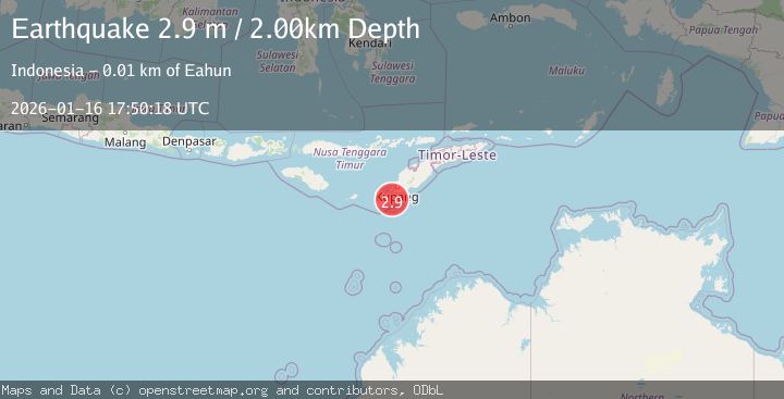
A 2.9 magnitude earthquake struck on TIMOR REGION, INDONESIA, at Fri, 16 Jan 2026 17:50:18 GMT. Depth: 2km. Reviewed by BMKG seismologists, this minor quake occurred at a magnitude type of m.
Magnitude
2.9
m
Source
BMKG
Intensity
-
Agency Reports
1 Sources| Source | Magnitude | Depth | Time |
|---|---|---|---|
| BMKGPrimary | 2.9 | 2 km | 1 month ago |
Earthquake Details
AutomaticEvent IDemsc_BMKG_20260116_0000314
Tsunami PotentialNo
Magnitude Typem
Nearest Places
- Tanjung Hendaana1.9 km
- Dano Baluolin2.1 km
- Mepe2.5 km
- Letek Anapetoarapunin2.9 km
- Tanjung Batuisi3.2 km
Comments
Join the discussion about this event.
Latest Earthquakes
1.9Mag
Poland
Time38 seconds ago
Depth12.33 km
SourceVYT (Automatic)
1.7Mag
2 km NW of Enterprise, Nevada
Time9 minutes ago
Depth15.89 km
SourceUSGS (Automatic)
1.3Mag
Southeastern Alaska
Time10 minutes ago
Depth7.20 km
SourceVYT (Automatic)
0.8Mag
39 km NE of Amboy, Washington
Time11 minutes ago
Depth7.36 km
SourceUSGS (Automatic)
3.2Mag
ANDHRA PRADESH, INDIA
Time15 minutes ago
Depth4.70 km
SourceNDI (Automatic)
Nearby Earthquakes
2.8Mag
Timor Region
Time0 months ago
Depth6.89 km
SourceBMKG (Automatic)
2.6Mag
TIMOR REGION, INDONESIA
Time0 months ago
Depth95.00 km
SourceBMKG (Automatic)
2.6Mag
TIMOR REGION, INDONESIA
Time1 month ago
Depth122.00 km
SourceBMKG (Automatic)
2.3Mag
Timor region, Indonesia
Time1 day ago
Depth12.94 km
SourceVYT (Automatic)
3.2Mag
TIMOR REGION, INDONESIA
Time0 months ago
Depth122.00 km
SourceBMKG (Automatic)