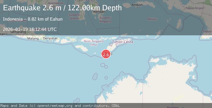
Earthquake TIMOR REGION, INDONESIA
Mon, 19 Jan 2026 18:12:44 GMT
Time1 month ago
Location
-10.6200, 123.5600
Depth
122.0 KM
Event Summary
A 2.6 magnitude earthquake struck on TIMOR REGION, INDONESIA, at Mon, 19 Jan 2026 18:12:44 GMT. Depth: 122km. Reviewed by BMKG seismologists, this minor quake occurred at a magnitude type of m.
Magnitude
2.6
m
Source
BMKG
Intensity
-
Agency Reports
1 Sources| Source | Magnitude | Depth | Time |
|---|---|---|---|
| BMKGPrimary | 2.6 | 134 km | 1 month ago |
Earthquake Details
AutomaticEvent IDemsc_BMKG_20260119_0000246
Tsunami PotentialNo
Magnitude Typem
Nearest Places
- Beatrice Reefs12.3 km
- Tanjung Batuisi14.7 km
- Tanjung Hendaana14.7 km
- Tanjung Penaolin15.3 km
- Dano Baluolin15.4 km
Comments
Join the discussion about this event.
Latest Earthquakes
2.6Mag
Minahasa, Sulawesi, Indonesia
Time2 minutes ago
Depth3.17 km
SourceVYT (Automatic)
2.6Mag
Antofagasta, Chile
Time3 minutes ago
Depth125.12 km
SourceVYT (Automatic)
0.8Mag
7 km NW of The Geysers, CA
Time6 minutes ago
Depth1.32 km
SourceUSGS (Automatic)
2.7Mag
San Juan, Argentina
Time11 minutes ago
Depth363.53 km
SourceVYT (Automatic)
2.5Mag
Java, Indonesia
Time11 minutes ago
Depth115.43 km
SourceBMKG
Nearby Earthquakes
3.2Mag
TIMOR REGION, INDONESIA
Time0 months ago
Depth122.00 km
SourceBMKG (Automatic)
2.6Mag
TIMOR REGION, INDONESIA
Time0 months ago
Depth95.00 km
SourceBMKG (Automatic)
2.8Mag
TIMOR REGION, INDONESIA
Time1 month ago
Depth110.00 km
SourceBMKG (Automatic)
3.2Mag
TIMOR REGION, INDONESIA
Time1 month ago
Depth104.00 km
SourceBMKG (Automatic)
2.9Mag
TIMOR REGION, INDONESIA
Time1 month ago
Depth2.00 km
SourceBMKG (Automatic)