Earthquake TIMOR REGION, INDONESIA
Wed, 21 Jan 2026 00:45:13 GMT
Time0 months ago
Location
-10.6200, 123.5700
Depth
122.0 KM
Event Summary
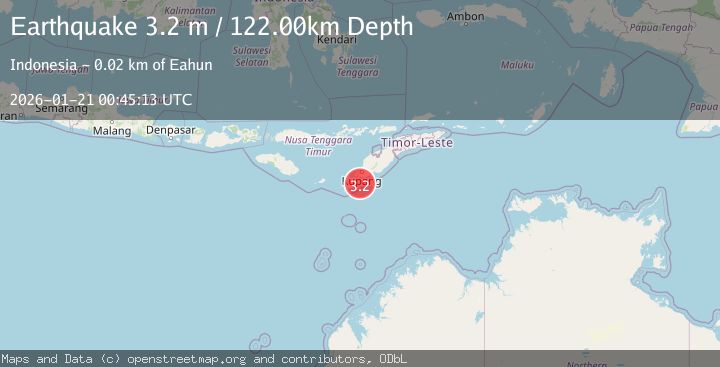
A 3.2 magnitude earthquake struck on TIMOR REGION, INDONESIA, at Wed, 21 Jan 2026 00:45:13 GMT. Depth: 122km. Reviewed by BMKG seismologists, this minor quake occurred at a magnitude type of m.
Magnitude
3.2
m
Source
BMKG
Intensity
-
Agency Reports
1 Sources| Source | Magnitude | Depth | Time |
|---|---|---|---|
| BMKGPrimary | 3.2 | 103 km | 0 months ago |
Earthquake Details
AutomaticEvent IDemsc_BMKG_20260121_0000011
Tsunami PotentialNo
Magnitude Typem
Nearest Places
- Beatrice Reefs11.9 km
- Tanjung Hendaana15.8 km
- Tanjung Batuisi15.8 km
- Tanjung Penaolin16.4 km
- Dano Baluolin16.5 km
Comments
Join the discussion about this event.
Latest Earthquakes
2.3Mag
Northern Sumatra, Indonesia
Time3 minutes ago
Depth27.84 km
SourceBMKG
0.5Mag
Southern Alaska
Time3 minutes ago
Depth0.00 km
SourceVYT (Automatic)
3.8Mag
Tarapaca, Chile
Time7 minutes ago
Depth93.51 km
SourceVYT (Automatic)
2.5Mag
Ceram Sea
Time9 minutes ago
Depth3.27 km
SourceBMKG
2.1Mag
Halmahera, Indonesia
Time11 minutes ago
Depth4.45 km
SourceBMKG
Nearby Earthquakes
2.6Mag
TIMOR REGION, INDONESIA
Time1 month ago
Depth122.00 km
SourceBMKG (Automatic)
2.6Mag
TIMOR REGION, INDONESIA
Time0 months ago
Depth95.00 km
SourceBMKG (Automatic)
2.8Mag
TIMOR REGION, INDONESIA
Time1 month ago
Depth110.00 km
SourceBMKG (Automatic)
3.2Mag
TIMOR REGION, INDONESIA
Time1 month ago
Depth104.00 km
SourceBMKG (Automatic)
2.9Mag
TIMOR REGION, INDONESIA
Time1 month ago
Depth2.00 km
SourceBMKG (Automatic)