Earthquake NEAR N COAST OF PAPUA, INDONESIA
Fri, 09 Jan 2026 23:29:23 GMT
Time1 month ago
Location
-2.8100, 140.1800
Depth
36.0 KM
Event Summary
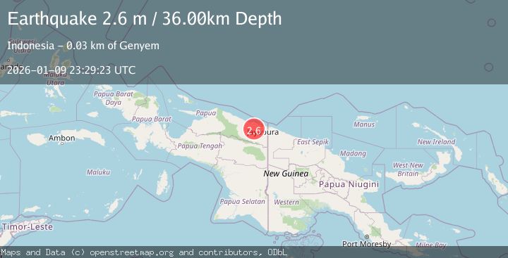
A 2.6 magnitude earthquake struck on NEAR N COAST OF PAPUA, INDONESIA, at Fri, 09 Jan 2026 23:29:23 GMT. Depth: 36km. Reviewed by BMKG seismologists, this minor quake occurred at a magnitude type of m.
Magnitude
2.6
m
Source
BMKG
Intensity
-
Agency Reports
1 Sources| Source | Magnitude | Depth | Time |
|---|---|---|---|
| BMKGPrimary | 2.6 | 36 km | 1 month ago |
Earthquake Details
AutomaticEvent IDemsc_BMKG_20260109_0000342
Tsunami PotentialNo
Magnitude Typem
Nearest Places
- 2.8 km
- 4.7 km
- 6.7 km
- 7.7 km
- 8.8 km
Comments
Join the discussion about this event.
Latest Earthquakes
1.3Mag
3 km SW of Hollister, CA
Time2 minutes ago
Depth6.85 km
SourceUSGS (Automatic)
2.3Mag
Tarapaca, Chile
Time4 minutes ago
Depth2.32 km
SourceVYT (Automatic)
2.5Mag
Ceram Sea
Time7 minutes ago
Depth139.22 km
SourceBMKG
3.0Mag
Oruro, Bolivia
Time7 minutes ago
Depth230.47 km
SourceVYT (Automatic)
2.3Mag
7 km NW of The Geysers, CA
Time11 minutes ago
Depth2.89 km
SourceUSGS (Automatic)
Nearby Earthquakes
3.7Mag
Near North Coast of West Papua
Time6 days ago
Depth86.88 km
SourceBMKG
3.0Mag
NEAR N COAST OF PAPUA, INDONESIA
Time1 month ago
Depth40.00 km
SourceBMKG (Automatic)
4.0Mag
NEAR N COAST OF PAPUA, INDONESIA
Time7 years ago
Depth10.00 km
SourceDJA (Automatic)
3.2Mag
NEAR N COAST OF PAPUA, INDONESIA
Time1 month ago
Depth22.00 km
SourceBMKG (Automatic)
3.0Mag
NEAR N COAST OF PAPUA, INDONESIA
Time3 months ago
Depth26.00 km
SourceBMKG (Automatic)