Earthquake NEAR S COAST OF PAPUA, INDONESIA
Mon, 19 Jan 2026 11:27:07 GMT
Time1 month ago
Location
-4.9500, 133.8700
Depth
10.0 KM
Event Summary
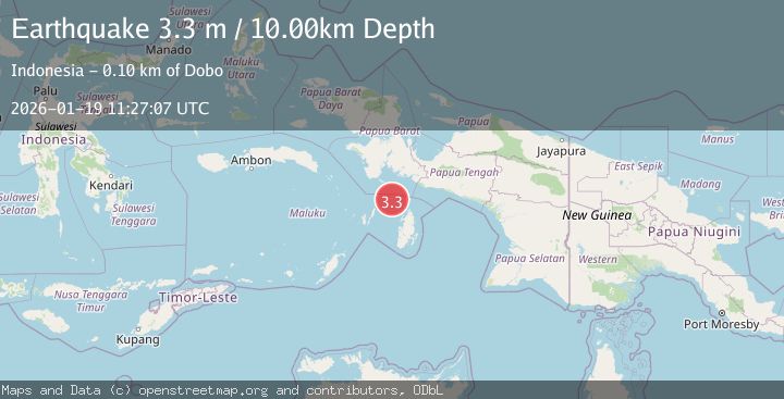
A 3.3 magnitude earthquake struck on NEAR S COAST OF PAPUA, INDONESIA, at Mon, 19 Jan 2026 11:27:07 GMT. Depth: 10km. Reviewed by BMKG seismologists, this minor quake occurred at a magnitude type of m.
Magnitude
3.3
m
Source
BMKG
Intensity
-
Agency Reports
1 Sources| Source | Magnitude | Depth | Time |
|---|---|---|---|
| BMKGPrimary | 3.3 | 10 km | 1 month ago |
Earthquake Details
AutomaticEvent IDemsc_BMKG_20260119_0000132
Tsunami PotentialNo
Magnitude Typem
Nearest Places
- Aru Basin15.4 km
- Java Reef68.1 km
- Pulau Wasir76.4 km
- Wasir78.8 km
- Pulau Tumbutumbu80.3 km
Comments
Join the discussion about this event.
Latest Earthquakes
1.1Mag
Washington
Time3 minutes ago
Depth9.64 km
SourceVYT (Automatic)
1.9Mag
32 km NW of Toyah, Texas
Time5 minutes ago
Depth4.09 km
SourceUSGS (Automatic)
1.7Mag
western Texas
Time9 minutes ago
Depth3.42 km
SourceVYT (Automatic)
3.8Mag
Seram, Indonesia
Time10 minutes ago
Depth0.00 km
SourceVYT (Automatic)
1.6Mag
54 km WNW of Toyah, Texas
Time16 minutes ago
Depth0.00 km
SourceUSGS (Automatic)
Nearby Earthquakes
5.0Mag
NEAR S COAST OF PAPUA, INDONESIA
Time2 years ago
Depth10.00 km
SourceEMSC (Automatic)
5.6Mag
NEAR S COAST OF PAPUA, INDONESIA
Time15 years ago
Depth10.00 km
SourceEMSC (Automatic)
5.3Mag
NEAR S COAST OF PAPUA, INDONESIA
Time8 years ago
Depth10.00 km
SourceEMSC (Automatic)
6.0Mag
NEAR S COAST OF PAPUA, INDONESIA
Time15 years ago
Depth2.00 km
SourceEMSC (Automatic)
3.7Mag
West Papua Region, Indonesia
Time2 weeks ago
Depth29.83 km
SourceBMKG (Automatic)