Earthquake NEAR S COAST OF PAPUA, INDONESIA
Tue, 12 Oct 2010 10:21:34 GMT
Time15 years ago
Location
-4.9100, 133.7600
Depth
2.0 KM
Event Summary
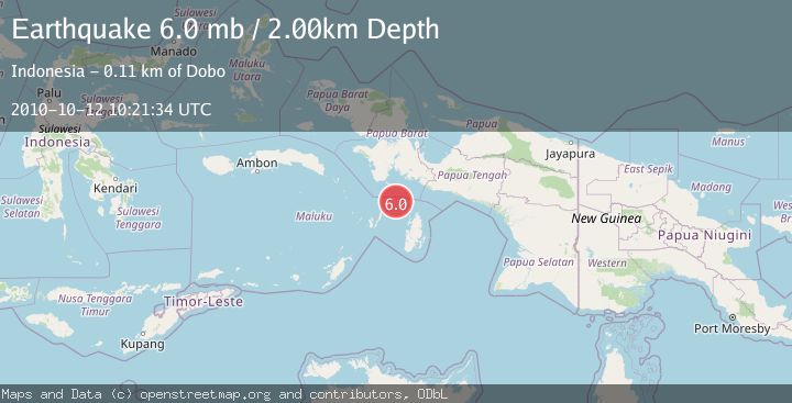
A 6.0 magnitude earthquake struck on NEAR S COAST OF PAPUA, INDONESIA, at Tue, 12 Oct 2010 10:21:34 GMT. Depth: 2km. Reviewed by EMSC seismologists, this strong quake occurred at a magnitude type of mb.
Magnitude
6.0
mb
Source
EMSC
Intensity
-
Agency Reports
1 Sources| Source | Magnitude | Depth | Time |
|---|---|---|---|
| EMSCPrimary | 6.0 | 2 km | 15 years ago |
Earthquake Details
AutomaticEvent IDemsc_EMSC_20101012_0000012
Tsunami PotentialNo
Magnitude Typemb
Nearest Places
- Aru Basin28.4 km
- Pulau Tumbutumbu70.8 km
- Tanjung Watukebo73.7 km
- Ohoirat77.6 km
- Labuhan Dabu77.6 km
Comments
Join the discussion about this event.
Latest Earthquakes
1.1Mag
Washington
Time2 minutes ago
Depth9.64 km
SourceVYT (Automatic)
1.9Mag
32 km NW of Toyah, Texas
Time4 minutes ago
Depth4.09 km
SourceUSGS (Automatic)
1.7Mag
western Texas
Time7 minutes ago
Depth3.42 km
SourceVYT (Automatic)
3.8Mag
Seram, Indonesia
Time9 minutes ago
Depth0.00 km
SourceVYT (Automatic)
1.6Mag
54 km WNW of Toyah, Texas
Time15 minutes ago
Depth0.00 km
SourceUSGS (Automatic)
Nearby Earthquakes
3.7Mag
West Papua Region, Indonesia
Time2 weeks ago
Depth29.83 km
SourceBMKG (Automatic)
5.3Mag
NEAR S COAST OF PAPUA, INDONESIA
Time15 years ago
Depth15.00 km
SourceEMSC (Automatic)
3.3Mag
NEAR S COAST OF PAPUA, INDONESIA
Time1 month ago
Depth10.00 km
SourceBMKG (Automatic)
5.0Mag
NEAR S COAST OF PAPUA, INDONESIA
Time2 years ago
Depth10.00 km
SourceEMSC (Automatic)
5.6Mag
NEAR S COAST OF PAPUA, INDONESIA
Time14 years ago
Depth10.00 km
SourceEMSC (Automatic)