Earthquake NEAR S COAST OF PAPUA, INDONESIA
Thu, 30 Sep 2010 02:11:03 GMT
Time15 years ago
Location
-4.9600, 133.9000
Depth
10.0 KM
Event Summary
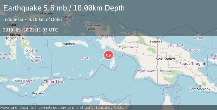
A 5.6 magnitude earthquake struck on NEAR S COAST OF PAPUA, INDONESIA, at Thu, 30 Sep 2010 02:11:03 GMT. Depth: 10km. Reviewed by EMSC seismologists, this moderate quake occurred at a magnitude type of mb.
Magnitude
5.6
mb
Source
EMSC
Intensity
-
Agency Reports
1 Sources| Source | Magnitude | Depth | Time |
|---|---|---|---|
| EMSCPrimary | 5.6 | 10 km | 15 years ago |
Earthquake Details
AutomaticEvent IDemsc_EMSC_20100930_0000005
Tsunami PotentialNo
Magnitude Typemb
Nearest Places
- Aru Basin11.9 km
- Java Reef65.2 km
- Pulau Wasir73.6 km
- Wasir76.0 km
- Pulau Toba78.1 km
Comments
Join the discussion about this event.
Latest Earthquakes
2.8Mag
Sunda Strait, Indonesia
Time6 minutes ago
Depth3.61 km
SourceBMKG
3.6Mag
south of Alaska
Time6 minutes ago
Depth10.00 km
SourceVYT (Automatic)
1.2Mag
Central Alaska
Time8 minutes ago
Depth68.97 km
SourceVYT (Automatic)
1.2Mag
Washington
Time10 minutes ago
Depth0.00 km
SourceVYT (Automatic)
0.8Mag
10 km WNW of The Geysers, CA
Time16 minutes ago
Depth1.96 km
SourceUSGS (Automatic)
Nearby Earthquakes
3.3Mag
NEAR S COAST OF PAPUA, INDONESIA
Time1 month ago
Depth10.00 km
SourceBMKG (Automatic)
5.0Mag
NEAR S COAST OF PAPUA, INDONESIA
Time2 years ago
Depth10.00 km
SourceEMSC (Automatic)
5.3Mag
NEAR S COAST OF PAPUA, INDONESIA
Time8 years ago
Depth10.00 km
SourceEMSC (Automatic)
5.5Mag
NEAR S COAST OF PAPUA, INDONESIA
Time10 years ago
Depth10.00 km
SourceEMSC (Automatic)
5.0Mag
NEAR S COAST OF PAPUA, INDONESIA
Time11 years ago
Depth12.00 km
SourceEMSC (Automatic)