Earthquake TIMOR REGION, INDONESIA
Mon, 19 Jan 2026 15:20:11 GMT
Time1 month ago
Location
-10.6700, 123.5900
Depth
104.0 KM
Event Summary
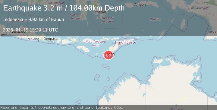
A 3.2 magnitude earthquake struck on TIMOR REGION, INDONESIA, at Mon, 19 Jan 2026 15:20:11 GMT. Depth: 104km. Reviewed by BMKG seismologists, this minor quake occurred at a magnitude type of m.
Magnitude
3.2
m
Source
BMKG
Intensity
-
Agency Reports
1 Sources| Source | Magnitude | Depth | Time |
|---|---|---|---|
| BMKGPrimary | 3.2 | 87 km | 1 month ago |
Earthquake Details
AutomaticEvent IDemsc_BMKG_20260119_0000196
Tsunami PotentialNo
Magnitude Typem
Nearest Places
- Beatrice Reefs17.1 km
- Tanjung Hendaana18.2 km
- Dano Baluolin18.6 km
- Tanjung Batuisi18.7 km
- Mepe19.0 km
Comments
Join the discussion about this event.
Latest Earthquakes
2.8Mag
West Papua Region, Indonesia
Time5 minutes ago
Depth34.12 km
SourceBMKG
3.6Mag
NORTHERN ALGERIA
Time12 minutes ago
Depth5.80 km
SourceIGN (Automatic)
2.6Mag
Java, Indonesia
Time15 minutes ago
Depth214.22 km
SourceBMKG
1.0Mag
Southeastern Alaska
Time15 minutes ago
Depth0.00 km
SourceVYT (Automatic)
3.5Mag
COOK STRAIT, NEW ZEALAND
Time16 minutes ago
Depth75.30 km
SourceGNS (Automatic)
Nearby Earthquakes
2.8Mag
TIMOR REGION, INDONESIA
Time1 month ago
Depth110.00 km
SourceBMKG (Automatic)
3.2Mag
TIMOR REGION, INDONESIA
Time0 months ago
Depth122.00 km
SourceBMKG (Automatic)
2.6Mag
TIMOR REGION, INDONESIA
Time1 month ago
Depth122.00 km
SourceBMKG (Automatic)
2.6Mag
TIMOR REGION, INDONESIA
Time0 months ago
Depth95.00 km
SourceBMKG (Automatic)
2.9Mag
TIMOR REGION, INDONESIA
Time1 month ago
Depth2.00 km
SourceBMKG (Automatic)