Earthquake NEAR N COAST OF PAPUA, INDONESIA
Mon, 19 Jan 2026 20:01:43 GMT
Time1 month ago
Location
-1.9100, 138.9000
Depth
10.0 KM
Event Summary
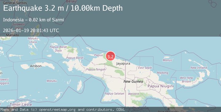
A 3.2 magnitude earthquake struck on NEAR N COAST OF PAPUA, INDONESIA, at Mon, 19 Jan 2026 20:01:43 GMT. Depth: 10km. Reviewed by BMKG seismologists, this minor quake occurred at a magnitude type of m.
Magnitude
3.2
m
Source
BMKG
Intensity
-
Agency Reports
1 Sources| Source | Magnitude | Depth | Time |
|---|---|---|---|
| BMKGPrimary | 3.2 | 10 km | 1 month ago |
Earthquake Details
AutomaticEvent IDemsc_BMKG_20260119_0000274
Tsunami PotentialNo
Magnitude Typem
Nearest Places
- Sungai Tor5.4 km
- Maffin6.6 km
- Teluk Maffin7.1 km
- Air Tirfoan7.3 km
- Kampung Holmafen8.2 km
Comments
Join the discussion about this event.
Latest Earthquakes
2.9Mag
Southeastern Alaska
Time5 minutes ago
Depth0.00 km
SourceVYT (Automatic)
1.8Mag
66 km ESE of Naalehu, Hawaii
Time7 minutes ago
Depth12.54 km
SourceUSGS (Automatic)
2.1Mag
northern Alaska
Time7 minutes ago
Depth0.00 km
SourceVYT (Automatic)
2.9Mag
Seram, Indonesia
Time16 minutes ago
Depth15.78 km
SourceBMKG
2.5Mag
Java, Indonesia
Time17 minutes ago
Depth115.38 km
SourceBMKG
Nearby Earthquakes
2.9Mag
NEAR N COAST OF PAPUA, INDONESIA
Time1 week ago
Depth79.00 km
SourceBMKG (Automatic)
3.0Mag
NEAR N COAST OF PAPUA, INDONESIA
Time2 months ago
Depth26.00 km
SourceBMKG (Automatic)
5.6Mag
NEAR N COAST OF PAPUA, INDONESIA
Time7 years ago
Depth10.00 km
SourceEMSC (Automatic)
5.3Mag
NEAR N COAST OF PAPUA, INDONESIA
Time9 years ago
Depth10.00 km
SourceEMSC (Automatic)
2.9Mag
Near North Coast of West Papua
Time2 weeks ago
Depth14.41 km
SourceBMKG (Automatic)