Earthquake Near North Coast of West Papua
Sun, 01 Feb 2026 20:56:59 GMT
Time1 day ago
Location
-1.9666, 138.8451
Depth
14.4 KM
Event Summary
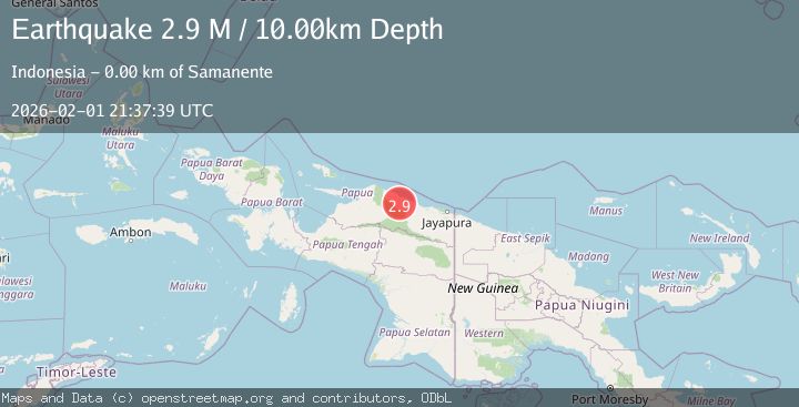
A 2.9 magnitude earthquake struck on Near North Coast of West Papua, at Sun, 01 Feb 2026 20:56:59 GMT. Depth: 14.412125km. Reviewed by BMKG seismologists, this minor quake occurred at a magnitude type of M.
Magnitude
2.9
M
Source
BMKG
Intensity
-
Agency Reports
1 Sources| Source | Magnitude | Depth | Time |
|---|---|---|---|
| BMKGPrimary | 2.9 | 10 km | 1 day ago |
Earthquake Details
AutomaticEvent IDbmg2026cggb
Tsunami PotentialNo
Magnitude TypeM
Nearest Places
- Kampung Tanjung Batu0.2 km
- Teluk Maffin1.9 km
- Air Woske2.3 km
- Air Tirfoan2.4 km
- Kampung Waskey2.7 km
Comments
Join the discussion about this event.
Latest Earthquakes
2.0Mag
POLAND
Time57 minutes ago
Depth11.00 km
SourceIGPAS (Automatic)
1.4Mag
2 km SSE of Home Gardens, CA
Time1 hour ago
Depth2.19 km
SourceUSGS (Automatic)
1.1Mag
2 km W of Anderson Springs, CA
Time1 hour ago
Depth2.14 km
SourceUSGS (Automatic)
2.6Mag
FRANCE
Time1 hour ago
Depth5.00 km
SourceReNaSS (Automatic)
2.6Mag
Northern Molucca Sea
Time1 hour ago
Depth29.83 km
SourceBMKG (Automatic)
Nearby Earthquakes
2.7Mag
West Papua, Indonesia
Time1 week ago
Depth73.44 km
SourceBMKG (Automatic)
3.5Mag
Near North Coast of West Papua
Time23 hours ago
Depth9.75 km
SourceBMKG (Automatic)
4.4Mag
West Papua, Indonesia
Time1 week ago
Depth23.70 km
SourceBMKG (Automatic)
3.2Mag
Near North Coast of West Papua
Time1 week ago
Depth25.99 km
SourceBMKG (Automatic)
2.5Mag
Near North Coast of West Papua
Time1 week ago
Depth30.91 km
SourceBMKG (Automatic)