Earthquake OFF W COAST OF NORTHERN SUMATRA
Tue, 27 Jan 2026 16:09:23 GMT
Time2 days ago
Location
1.3400, 95.6800
Depth
64.0 KM
Event Summary
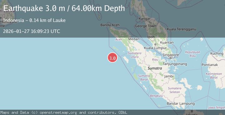
A 3.0 magnitude earthquake struck on OFF W COAST OF NORTHERN SUMATRA, at Tue, 27 Jan 2026 16:09:23 GMT. Depth: 64km. Reviewed by BMKG seismologists, this minor quake occurred at a magnitude type of m.
Magnitude
3.0
m
Source
BMKG
Intensity
-
Agency Reports
1 Sources| Source | Magnitude | Depth | Time |
|---|---|---|---|
| BMKGPrimary | 3.0 | 64 km | 2 days ago |
Earthquake Details
AutomaticEvent IDemsc_BMKG_20260127_0000287
Tsunami PotentialNo
Magnitude Typem
Nearest Places
- Pulau Mincau126.6 km
- Gampong Pulau Teupah128.7 km
- Pulau Teupah128.9 km
- Pulau Tapah129.0 km
- Ujung Nabuluun132.5 km
Comments
Join the discussion about this event.
Latest Earthquakes
1.3Mag
14 km W of Mojave, CA
Time2 minutes ago
Depth0.37 km
SourceUSGS (Automatic)
2.8Mag
Java, Indonesia
Time3 minutes ago
Depth47.86 km
SourceBMKG (Automatic)
1.5Mag
19 km NNE of Indio, CA
Time28 minutes ago
Depth5.02 km
SourceUSGS (Automatic)
3.4Mag
Southern Sumatra, Indonesia
Time36 minutes ago
Depth48.59 km
SourceBMKG (Automatic)
3.2Mag
COQUIMBO, CHILE
Time49 minutes ago
Depth16.10 km
SourceCSN (Automatic)
Nearby Earthquakes
4.4Mag
Northern Sumatra, Indonesia
Time7 hours ago
Depth10.00 km
SourceBMKG (Automatic)
2.4Mag
Northern Sumatra, Indonesia
Time4 days ago
Depth10.00 km
SourceBMKG (Automatic)
4.4Mag
82 km SW of Teluk Dalam, Indonesia
Time1 week ago
Depth10.00 km
SourceUSGS
2.5Mag
Northern Sumatra, Indonesia
Time5 days ago
Depth10.00 km
SourceBMKG (Automatic)
2.3Mag
Northern Sumatra, Indonesia
Time9 hours ago
Depth6.40 km
SourceBMKG (Automatic)