Earthquake SULAWESI, INDONESIA
Fri, 06 Feb 2026 06:57:50 GMT
Time23 hours ago
Location
-0.2800, 122.9400
Depth
60.0 KM
Event Summary
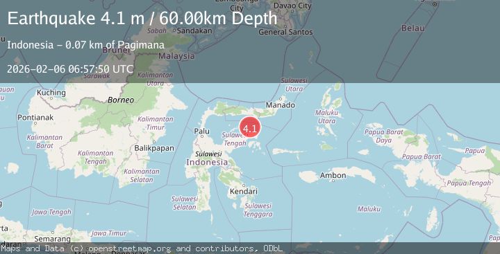
A 4.1 magnitude earthquake struck on SULAWESI, INDONESIA, at Fri, 06 Feb 2026 06:57:50 GMT. Depth: 60km. Reviewed by BMKG seismologists, this light quake occurred at a magnitude type of m.
Magnitude
4.1
m
Source
BMKG
Intensity
-
Agency Reports
1 Sources| Source | Magnitude | Depth | Time |
|---|---|---|---|
| BMKGPrimary | 4.1 | 60 km | 23 hours ago |
Earthquake Details
AutomaticEvent IDemsc_BMKG_20260206_0000100
Tsunami PotentialNo
Magnitude Typem
Nearest Places
- Pulau Sendiri20.8 km
- Pulau Ban30.9 km
- Pulau Mantawalu Daka31.6 km
- Tanjung Awok34.2 km
- Tanjung Awok34.2 km
Comments
Join the discussion about this event.
Latest Earthquakes
0.9Mag
13 km NW of The Geysers, CA
Time4 minutes ago
Depth2.42 km
SourceUSGS (Automatic)
1.0Mag
5 km S of Loyola, CA
Time13 minutes ago
Depth7.28 km
SourceUSGS (Automatic)
3.3Mag
SALTA, ARGENTINA
Time15 minutes ago
Depth232.50 km
SourceCSN (Automatic)
2.5Mag
Northern Sumatra, Indonesia
Time23 minutes ago
Depth5.00 km
SourceBMKG (Automatic)
2.2Mag
Northern Sumatra, Indonesia
Time24 minutes ago
Depth5.00 km
SourceBMKG (Automatic)
Nearby Earthquakes
2.4Mag
Minahassa Peninsula, Sulawesi
Time2 days ago
Depth86.87 km
SourceBMKG (Automatic)
2.5Mag
Minahassa Peninsula, Sulawesi
Time2 days ago
Depth68.70 km
SourceBMKG (Automatic)
2.4Mag
Minahassa Peninsula, Sulawesi
Time2 weeks ago
Depth79.94 km
SourceBMKG (Automatic)
2.3Mag
Minahassa Peninsula, Sulawesi
Time2 days ago
Depth80.65 km
SourceBMKG (Automatic)
3.9Mag
Minahassa Peninsula, Sulawesi
Time2 weeks ago
Depth29.89 km
SourceBMKG (Automatic)