Earthquake MINDANAO, PHILIPPINES
Mon, 09 Feb 2026 23:14:42 GMT
Time4 hours ago
Location
5.1000, 125.8800
Depth
10.0 KM
Event Summary
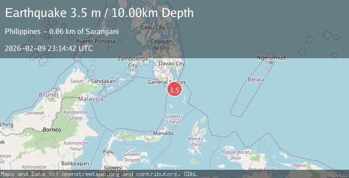
A 3.5 magnitude earthquake struck on MINDANAO, PHILIPPINES, at Mon, 09 Feb 2026 23:14:42 GMT. Depth: 10km. Reviewed by BMKG seismologists, this minor quake occurred at a magnitude type of m.
Magnitude
3.5
m
Source
BMKG
Intensity
-
Agency Reports
1 Sources| Source | Magnitude | Depth | Time |
|---|---|---|---|
| BMKGPrimary | 3.5 | 10 km | 4 hours ago |
Earthquake Details
AutomaticEvent IDemsc_BMKG_20260209_0000385
Tsunami PotentialNo
Magnitude Typem
Nearest Places
- Sangihe Trough50.6 km
- Panguil Bato Point55.8 km
- Torang Point55.8 km
- Torang Creek55.9 km
- Manajos56.0 km
Comments
Join the discussion about this event.
Latest Earthquakes
3.4Mag
Banda Sea
Time4 hours ago
Depth123.75 km
SourceBMKG (Automatic)
3.3Mag
Near North Coast of West Papua
Time4 hours ago
Depth102.13 km
SourceBMKG (Automatic)
0.8Mag
8 km NW of The Geysers, CA
Time4 hours ago
Depth2.52 km
SourceUSGS (Automatic)
3.9Mag
NEAR COAST OF SOUTHERN PERU
Time4 hours ago
Depth41.00 km
SourceLIM (Automatic)
2.8Mag
NORTHERN SUMATRA, INDONESIA
Time4 hours ago
Depth5.00 km
SourceBMKG (Automatic)
Nearby Earthquakes
5.2Mag
Talaud Islands, Indonesia
Time2 weeks ago
Depth171.24 km
SourceBMKG (Automatic)
4.6Mag
Mindanao, Philippines
Time2 weeks ago
Depth182.33 km
SourceBMKG (Automatic)
3.3Mag
MINDANAO, PHILIPPINES
Time2 weeks ago
Depth9.00 km
SourcePIVS (Automatic)
4.5Mag
Talaud Islands, Indonesia
Time6 days ago
Depth10.00 km
SourceBMKG (Automatic)
3.2Mag
KEPULAUAN SANGIHE, INDONESIA
Time2 weeks ago
Depth203.00 km
SourceBMKG (Automatic)