Earthquake SUNDA STRAIT, INDONESIA
Mon, 16 Feb 2026 19:12:06 GMT
Time1 day ago
Location
-6.0100, 104.6900
Depth
12.0 KM
Event Summary
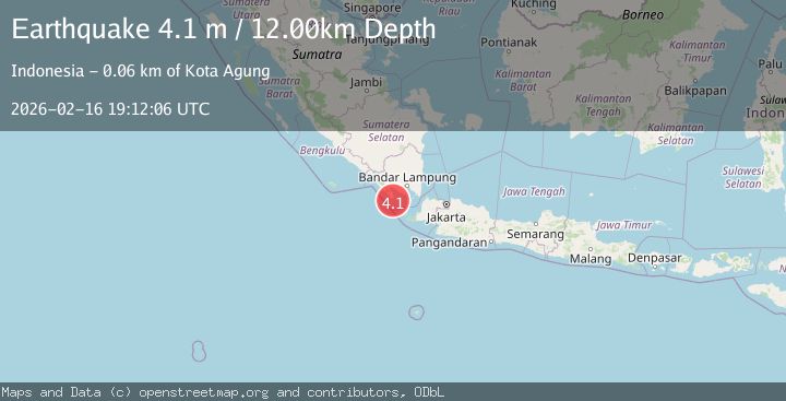
A 4.1 magnitude earthquake struck on SUNDA STRAIT, INDONESIA, at Mon, 16 Feb 2026 19:12:06 GMT. Depth: 12km. Reviewed by BMKG seismologists, this light quake occurred at a magnitude type of m.
Magnitude
4.1
m
Source
BMKG
Intensity
-
Agency Reports
1 Sources| Source | Magnitude | Depth | Time |
|---|---|---|---|
| BMKGPrimary | 4.1 | 12 km | 1 day ago |
Earthquake Details
AutomaticEvent IDemsc_BMKG_20260216_0000377
Tsunami PotentialNo
Magnitude Typem
Nearest Places
- Wai Belambang8.8 km
- Danau Menjukut9.0 km
- Tanjung Cina10.2 km
- Desa Tampang11.7 km
- Wai Kejadina12.7 km
Comments
Join the discussion about this event.
Latest Earthquakes
2.2Mag
Java, Indonesia
Time9 hours ago
Depth30.94 km
SourceBMKG
2.0Mag
Seram, Indonesia
Time9 hours ago
Depth68.21 km
SourceBMKG
3.5Mag
near the coast of Antofagasta, Chile
Time9 hours ago
Depth0.00 km
SourceVYT (Automatic)
3.3Mag
SALTA, ARGENTINA
Time9 hours ago
Depth188.00 km
SourceNSNA (Automatic)
1.7Mag
Southern California
Time9 hours ago
Depth0.00 km
SourceVYT (Automatic)
Nearby Earthquakes
3.1Mag
SOUTHERN SUMATRA, INDONESIA
Time1 day ago
Depth6.00 km
SourceBMKG (Automatic)
2.7Mag
Southern Sumatra, Indonesia
Time9 hours ago
Depth2.84 km
SourceBMKG
5.4Mag
SUNDA STRAIT, INDONESIA
Time20 years ago
Depth40.00 km
SourceEMSC (Automatic)
5.3Mag
SUNDA STRAIT, INDONESIA
Time4 years ago
Depth54.00 km
SourceEMSC (Automatic)
2.7Mag
Southern Sumatra, Indonesia
Time3 weeks ago
Depth10.00 km
SourceBMKG (Automatic)