Earthquake 42 km NW of Toyah, Texas
Wed, 18 Feb 2026 00:45:28 GMT
Time10 hours ago
Location
31.5310, -104.1570
Depth
4.5 KM
Event Summary
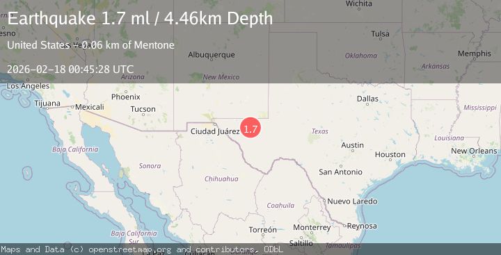
A 1.7 magnitude earthquake struck on 42 km NW of Toyah, Texas, at Wed, 18 Feb 2026 00:45:28 GMT. Depth: 4.4594km. Reviewed by USGS seismologists, this minor quake occurred at a magnitude type of ml.
Magnitude
1.7
ml
Source
USGS
Intensity
-
Agency Reports
1 Sources| Source | Magnitude | Depth | Time |
|---|---|---|---|
| USGSPrimary | 1.7 | 4 km | 10 hours ago |
Earthquake Details
AutomaticEvent IDusgs_tx2026dkejhj
Tsunami PotentialNo
Magnitude Typeml
Nearest Places
- Brooks Ranch1.4 km
- Two Mill Draw1.8 km
- Big Canyon Draw2.2 km
- Gulf Windmill4.1 km
- Little Sulphur Windmill7.0 km
Comments
Join the discussion about this event.
Latest Earthquakes
2.5Mag
Kodiak Island region, Alaska
Time9 hours ago
Depth3.91 km
SourceVYT (Automatic)
2.0Mag
Antofagasta, Chile
Time9 hours ago
Depth144.41 km
SourceVYT (Automatic)
3.0Mag
Kenai Peninsula, Alaska
Time9 hours ago
Depth76.66 km
SourceVYT (Automatic)
1.8Mag
Southern Yukon Territory, Canada
Time9 hours ago
Depth30.88 km
SourceVYT (Automatic)
1.1Mag
Valparaiso, Chile
Time9 hours ago
Depth42.24 km
SourceVYT (Automatic)
Nearby Earthquakes
1.1Mag
41 km NW of Toyah, Texas
Time12 hours ago
Depth3.44 km
SourceUSGS (Automatic)
2.5Mag
WESTERN TEXAS
Time1 month ago
Depth5.00 km
SourceNEIC (Automatic)
1.7Mag
42 km NW of Toyah, Texas
Time3 weeks ago
Depth4.72 km
SourceUSGS (Automatic)
1.4Mag
41 km NW of Toyah, Texas
Time3 weeks ago
Depth2.74 km
SourceUSGS (Automatic)
3.0Mag
WESTERN TEXAS
Time1 year ago
Depth6.70 km
SourceNEIC (Automatic)