Earthquake SOUTHERN YUKON TERRITORY, CANADA
Sat, 03 Jan 2026 19:48:13 GMT
Time1 month ago
Location
61.5244, -140.6414
Depth
1.1 KM
Event Summary
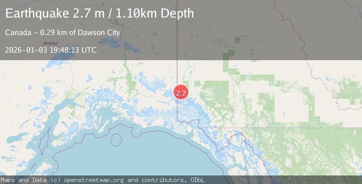
A 2.7 magnitude earthquake struck on SOUTHERN YUKON TERRITORY, CANADA, at Sat, 03 Jan 2026 19:48:13 GMT. Depth: 1.1km. Reviewed by CN seismologists, this minor quake occurred at a magnitude type of m.
Magnitude
2.7
m
Source
CN
Intensity
-
Agency Reports
1 Sources| Source | Magnitude | Depth | Time |
|---|---|---|---|
| CNPrimary | 2.7 | 1 km | 1 month ago |
Earthquake Details
AutomaticEvent IDemsc_CN_20260103_0000350
Tsunami PotentialNo
Magnitude Typem
Nearest Places
- Klutlan Glacier3.4 km
- Count Creek10.5 km
- Brooke Creek10.5 km
- Mount Constantine13.4 km
- Mount Bompas13.7 km
Comments
Join the discussion about this event.
Latest Earthquakes
2.0Mag
Sulawesi, Indonesia
Time5 minutes ago
Depth4.77 km
SourceBMKG
3.0Mag
Northern Sumatra, Indonesia
Time6 minutes ago
Depth5.00 km
SourceBMKG
2.9Mag
Salta, Argentina
Time7 minutes ago
Depth296.51 km
SourceVYT (Automatic)
2.4Mag
Sumbawa Region, Indonesia
Time14 minutes ago
Depth20.31 km
SourceBMKG
1.2Mag
3 km N of The Geysers, CA
Time18 minutes ago
Depth1.73 km
SourceUSGS (Automatic)
Nearby Earthquakes
3.0Mag
SOUTHERN YUKON TERRITORY, CANADA
Time8 years ago
Depth9.00 km
SourceNEIR (Automatic)
3.0Mag
SOUTHERN YUKON TERRITORY, CANADA
Time2 years ago
Depth10.00 km
SourceNEIC (Automatic)
3.0Mag
SOUTHERN YUKON TERRITORY, CANADA
Time3 years ago
Depth4.00 km
SourceNEIC (Automatic)
2.0Mag
128 km E of McCarthy, Alaska
Time3 weeks ago
Depth0.40 km
SourceUSGS
3.0Mag
SOUTHERN YUKON TERRITORY, CANADA
Time9 years ago
Depth9.00 km
SourceNEIR (Automatic)