Earthquake SOUTHERN SUMATRA, INDONESIA
Tue, 20 Jul 2021 02:46:28 GMT
Time4 years ago
Location
-4.0500, 102.5200
Depth
62.0 KM
Event Summary
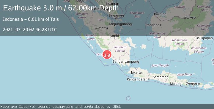
A 3.0 magnitude earthquake struck on SOUTHERN SUMATRA, INDONESIA, at Tue, 20 Jul 2021 02:46:28 GMT. Depth: 62km. Reviewed by DJA seismologists, this minor quake occurred at a magnitude type of m.
Magnitude
3.0
m
Source
DJA
Intensity
-
Agency Reports
1 Sources| Source | Magnitude | Depth | Time |
|---|---|---|---|
| DJAPrimary | 3.0 | 62 km | 4 years ago |
Earthquake Details
AutomaticEvent IDemsc_DJA_20210720_0000014
Tsunami PotentialNo
Magnitude Typem
Nearest Places
- Pematang Siyar0.5 km
- Desa Pagar Agung0.8 km
- Desa Air Latak1.6 km
- Pasaragung1.9 km
- Talangperapat1.9 km
Comments
Join the discussion about this event.
Latest Earthquakes
0.7Mag
3 km NNW of The Geysers, CA
Time5 hours ago
Depth2.60 km
SourceUSGS (Automatic)
1.1Mag
33 km SSE of Glacier View, Alaska
Time5 hours ago
Depth20.20 km
SourceUSGS (Automatic)
1.8Mag
50 km W of Mentone, Texas
Time5 hours ago
Depth3.75 km
SourceUSGS (Automatic)
0.9Mag
81 km NNW of Karluk, Alaska
Time5 hours ago
Depth34.10 km
SourceUSGS (Automatic)
1.5Mag
Tarapaca, Chile
Time5 hours ago
Depth32.84 km
SourceVYT (Automatic)
Nearby Earthquakes
5.3Mag
SOUTHERN SUMATRA, INDONESIA
Time17 years ago
Depth30.00 km
SourceEMSC (Automatic)
5.7Mag
SOUTHERN SUMATRA, INDONESIA
Time20 years ago
Depth60.00 km
SourceEMSC (Automatic)
3.0Mag
SOUTHERN SUMATRA, INDONESIA
Time2 years ago
Depth37.00 km
SourceBMKG (Automatic)
9.9Mag
southern Sumatra, Indonesia
Time4 days ago
Depth47.00 km
SourceVYT (Automatic)
5.7Mag
SOUTHERN SUMATRA, INDONESIA
Time9 months ago
Depth61.70 km
SourceEMSC (Automatic)