Earthquake Near North Coast of West Papua
Sun, 15 Feb 2026 20:21:41 GMT
Time2 days ago
Location
-2.7782, 140.7749
Depth
20.9 KM
Event Summary
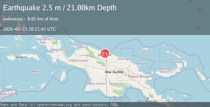
A 2.5 magnitude earthquake struck on Near North Coast of West Papua, at Sun, 15 Feb 2026 20:21:41 GMT. Depth: 20.911322km. Reviewed by BMKG seismologists, this minor quake occurred at a magnitude type of M.
Magnitude
2.5
M
Source
BMKG
Intensity
-
Agency Reports
1 Sources| Source | Magnitude | Depth | Time |
|---|---|---|---|
| BMKGPrimary | 2.5 | 21 km | 2 days ago |
Earthquake Details
ManualEvent IDbmg2026dfty
Tsunami PotentialNo
Magnitude TypeM
Nearest Places
- Kampung Sanggaria2.7 km
- Kampung Warbo2.8 km
- Jaas Kiri3.0 km
- Sekanto4.2 km
- Kampung Yowong4.3 km
Comments
Join the discussion about this event.
Latest Earthquakes
2.1Mag
Kenai Peninsula, Alaska
Time13 hours ago
Depth0.00 km
SourceVYT (Automatic)
0.9Mag
4 km SSE of Banning, CA
Time13 hours ago
Depth12.80 km
SourceUSGS (Automatic)
1.9Mag
Poland
Time14 hours ago
Depth5.25 km
SourceVYT (Automatic)
2.0Mag
Central California
Time14 hours ago
Depth0.00 km
SourceVYT (Automatic)
0.7Mag
4 km NW of The Geysers, CA
Time14 hours ago
Depth3.05 km
SourceUSGS (Automatic)
Nearby Earthquakes
3.0Mag
NEAR N COAST OF PAPUA, INDONESIA
Time2 years ago
Depth10.00 km
SourceBMKG (Automatic)
3.0Mag
NEAR N COAST OF PAPUA, INDONESIA
Time4 years ago
Depth20.00 km
SourceDJA (Automatic)
2.3Mag
Near North Coast of West Papua
Time3 weeks ago
Depth10.00 km
SourceBMKG (Automatic)
3.2Mag
NEAR N COAST OF PAPUA, INDONESIA
Time1 month ago
Depth12.00 km
SourceBMKG (Automatic)
2.3Mag
Near North Coast of West Papua
Time4 days ago
Depth10.00 km
SourceBMKG