Earthquake Near North Coast of West Papua
Thu, 22 Jan 2026 17:21:25 GMT
Time4 days ago
Location
-2.7355, 140.6603
Depth
10.0 KM
Event Summary
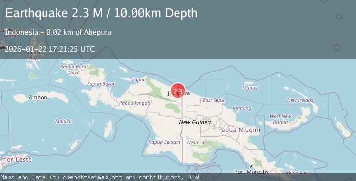
A 2.3 magnitude earthquake struck on Near North Coast of West Papua, at Thu, 22 Jan 2026 17:21:25 GMT. Depth: 10km. Reviewed by BMKG seismologists, this minor quake occurred at a magnitude type of M.
Magnitude
2.3
M
Source
BMKG
Intensity
-
Agency Reports
1 Sources| Source | Magnitude | Depth | Time |
|---|---|---|---|
| BMKGPrimary | 2.3 | 10 km | 4 days ago |
Earthquake Details
AutomaticEvent IDbmg2026bnrx
Tsunami PotentialNo
Magnitude TypeM
Nearest Places
- Kelurahan Abepantai4.1 km
- Kampung Intaimelyan5.6 km
- Kampung Alang-Alang Raya6.1 km
- Kampung Traimelyan6.4 km
- Kelurahan Asano6.5 km
Comments
Join the discussion about this event.
Latest Earthquakes
3.1Mag
South of Java, Indonesia
Time2 minutes ago
Depth5.01 km
SourceBMKG (Automatic)
2.2Mag
Near North Coast of West Papua
Time5 minutes ago
Depth10.00 km
SourceBMKG (Automatic)
1.6Mag
4 km SE of Julian, CA
Time21 minutes ago
Depth10.57 km
SourceUSGS (Automatic)
3.4Mag
BIO-BIO, CHILE
Time23 minutes ago
Depth17.50 km
SourceCSN (Automatic)
2.7Mag
FRANCE
Time29 minutes ago
Depth5.00 km
SourceReNaSS (Automatic)
Nearby Earthquakes
2.2Mag
Near North Coast of West Papua
Time3 days ago
Depth30.05 km
SourceBMKG (Automatic)
2.5Mag
Near North Coast of West Papua
Time1 day ago
Depth10.00 km
SourceBMKG (Automatic)
2.8Mag
Near North Coast of West Papua
Time4 days ago
Depth10.00 km
SourceBMKG (Automatic)
2.1Mag
Near North Coast of West Papua
Time1 day ago
Depth10.56 km
SourceBMKG (Automatic)
2.2Mag
Near North Coast of West Papua
Time5 minutes ago
Depth10.00 km
SourceBMKG (Automatic)