Earthquake KEPULAUAN BARAT DAYA, INDONESIA
Mon, 07 Aug 2006 00:53:39 GMT
Time19 years ago
Location
-7.6400, 127.9600
Depth
168.0 KM
Event Summary
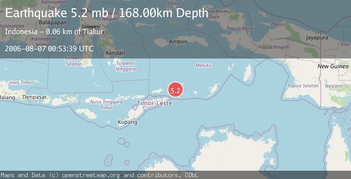
A 5.2 magnitude earthquake struck on KEPULAUAN BARAT DAYA, INDONESIA, at Mon, 07 Aug 2006 00:53:39 GMT. Depth: 168km. Reviewed by EMSC seismologists, this moderate quake occurred at a magnitude type of mb.
Magnitude
5.2
mb
Source
EMSC
Intensity
-
Agency Reports
1 Sources| Source | Magnitude | Depth | Time |
|---|---|---|---|
| EMSCPrimary | 5.2 | 168 km | 19 years ago |
Earthquake Details
AutomaticEvent IDemsc_EMSC_20060807_0000039
Tsunami PotentialNo
Magnitude Typemb
Nearest Places
- Kepulauan Barat Daya25.2 km
- Pulau Juha36.3 km
- Tanjung Liyiar39.9 km
- Pulau Maopora40.2 km
- Pulau Kital45.6 km
Comments
Join the discussion about this event.
Latest Earthquakes
2.6Mag
Java, Indonesia
Time11 minutes ago
Depth214.22 km
SourceBMKG
1.0Mag
Southeastern Alaska
Time11 minutes ago
Depth0.00 km
SourceVYT (Automatic)
3.5Mag
COOK STRAIT, NEW ZEALAND
Time12 minutes ago
Depth75.30 km
SourceGNS (Automatic)
2.5Mag
Seram, Indonesia
Time14 minutes ago
Depth21.28 km
SourceBMKG
2.6Mag
West Papua Region, Indonesia
Time17 minutes ago
Depth17.35 km
SourceBMKG
Nearby Earthquakes
5.5Mag
KEPULAUAN BARAT DAYA, INDONESIA
Time12 years ago
Depth128.00 km
SourceEMSC (Automatic)
5.6Mag
KEPULAUAN BARAT DAYA, INDONESIA
Time14 years ago
Depth184.00 km
SourceEMSC (Automatic)
6.7Mag
KEPULAUAN BARAT DAYA, INDONESIA
Time9 years ago
Depth177.00 km
SourceEMSC (Automatic)
4.0Mag
KEPULAUAN BARAT DAYA, INDONESIA
Time3 years ago
Depth119.00 km
SourceNEIC (Automatic)
4.0Mag
KEPULAUAN BARAT DAYA, INDONESIA
Time4 years ago
Depth134.00 km
SourceNEIC (Automatic)