Earthquake KEPULAUAN BARAT DAYA, INDONESIA
Tue, 15 Nov 2011 07:56:04 GMT
Time14 years ago
Location
-7.5800, 127.8800
Depth
184.0 KM
Event Summary
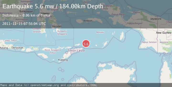
A 5.6 magnitude earthquake struck on KEPULAUAN BARAT DAYA, INDONESIA, at Tue, 15 Nov 2011 07:56:04 GMT. Depth: 184km. Reviewed by EMSC seismologists, this moderate quake occurred at a magnitude type of mw.
Magnitude
5.6
mw
Source
EMSC
Intensity
-
Agency Reports
1 Sources| Source | Magnitude | Depth | Time |
|---|---|---|---|
| EMSCPrimary | 5.6 | 184 km | 14 years ago |
Earthquake Details
AutomaticEvent IDemsc_EMSC_20111115_0000039
Tsunami PotentialNo
Magnitude Typemw
Nearest Places
- Kepulauan Barat Daya22.5 km
- Pulau Juha27.0 km
- Pulau Maopora30.9 km
- Tanjung Liyiar31.3 km
- Pulau Kital35.8 km
Comments
Join the discussion about this event.
Latest Earthquakes
2.8Mag
West Papua Region, Indonesia
Time3 minutes ago
Depth34.12 km
SourceBMKG
2.6Mag
Java, Indonesia
Time13 minutes ago
Depth214.22 km
SourceBMKG
1.0Mag
Southeastern Alaska
Time13 minutes ago
Depth0.00 km
SourceVYT (Automatic)
3.5Mag
COOK STRAIT, NEW ZEALAND
Time15 minutes ago
Depth75.30 km
SourceGNS (Automatic)
2.5Mag
Seram, Indonesia
Time16 minutes ago
Depth21.28 km
SourceBMKG
Nearby Earthquakes
6.7Mag
KEPULAUAN BARAT DAYA, INDONESIA
Time9 years ago
Depth177.00 km
SourceEMSC (Automatic)
4.1Mag
KEPULAUAN BARAT DAYA, INDONESIA
Time1 month ago
Depth173.00 km
SourceBMKG (Automatic)
5.6Mag
KEPULAUAN BARAT DAYA, INDONESIA
Time16 years ago
Depth158.00 km
SourceEMSC (Automatic)
5.0Mag
KEPULAUAN BARAT DAYA, INDONESIA
Time11 months ago
Depth157.50 km
SourceEMSC (Automatic)
5.2Mag
KEPULAUAN BARAT DAYA, INDONESIA
Time3 months ago
Depth162.30 km
SourceEMSC (Automatic)