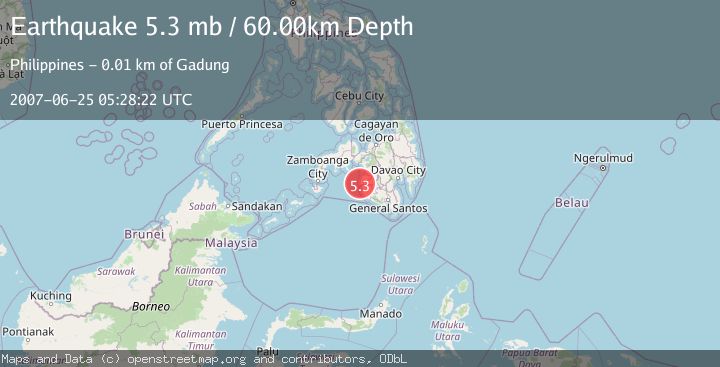
Earthquake MORO GULF, MINDANAO, PHILIPPINES
Mon, 25 Jun 2007 05:28:22 GMT
Time18 years ago
Location
6.8000, 123.9300
Depth
60.0 KM
Event Summary
A 5.3 magnitude earthquake struck on MORO GULF, MINDANAO, PHILIPPINES, at Mon, 25 Jun 2007 05:28:22 GMT. Depth: 60km. Reviewed by EMSC seismologists, this moderate quake occurred at a magnitude type of mb.
Magnitude
5.3
mb
Source
EMSC
Intensity
-
Agency Reports
1 Sources| Source | Magnitude | Depth | Time |
|---|---|---|---|
| EMSCPrimary | 5.3 | 60 km | 18 years ago |
Earthquake Details
AutomaticEvent IDemsc_EMSC_20070625_0000046
Tsunami PotentialNo
Magnitude Typemb
Nearest Places
- Ipil Point2.5 km
- Bamban Point3.1 km
- Bral3.8 km
- Bamban4.2 km
- Lasak4.2 km
Comments
Join the discussion about this event.
Latest Earthquakes
2.3Mag
Poland
Time5 hours ago
Depth0.49 km
SourceVYT (Automatic)
1.7Mag
Java, Indonesia
Time5 hours ago
Depth5.98 km
SourceVYT (Automatic)
2.5Mag
SPAIN
Time5 hours ago
Depth2.90 km
SourceIGN (Automatic)
2.5Mag
West Papua Region, Indonesia
Time5 hours ago
Depth12.37 km
SourceBMKG
2.6Mag
Antofagasta, Chile
Time6 hours ago
Depth116.33 km
SourceVYT (Automatic)
Nearby Earthquakes
3.0Mag
MORO GULF, MINDANAO, PHILIPPINES
Time1 year ago
Depth32.00 km
SourcePIVS (Automatic)
5.0Mag
MORO GULF, MINDANAO, PHILIPPINES
Time3 years ago
Depth60.00 km
SourceEMSC (Automatic)
3.0Mag
MORO GULF, MINDANAO, PHILIPPINES
Time5 years ago
Depth26.00 km
SourcePIVS (Automatic)
5.0Mag
MORO GULF, MINDANAO, PHILIPPINES
Time6 years ago
Depth10.00 km
SourceDJA (Automatic)
5.9Mag
MORO GULF, MINDANAO, PHILIPPINES
Time7 years ago
Depth552.00 km
SourceEMSC (Automatic)