Earthquake KEPULAUAN BABAR, INDONESIA
Fri, 23 May 2008 22:50:34 GMT
Time17 years ago
Location
-7.0400, 129.6300
Depth
100.0 KM
Event Summary
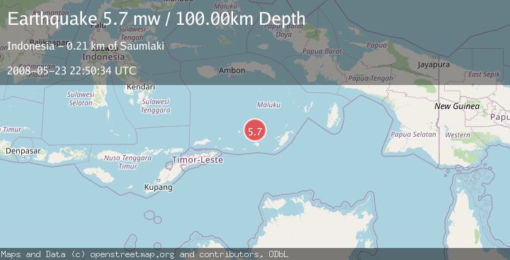
A 5.7 magnitude earthquake struck on KEPULAUAN BABAR, INDONESIA, at Fri, 23 May 2008 22:50:34 GMT. Depth: 100km. Reviewed by EMSC seismologists, this moderate quake occurred at a magnitude type of mw.
Magnitude
5.7
mw
Source
EMSC
Intensity
-
Agency Reports
1 Sources| Source | Magnitude | Depth | Time |
|---|---|---|---|
| EMSCPrimary | 5.7 | 100 km | 17 years ago |
Earthquake Details
AutomaticEvent IDemsc_EMSC_20080523_0000059
Tsunami PotentialNo
Magnitude Typemw
Nearest Places
- Damar Ridge27.1 km
- Tanjung Sifanandrierna33.7 km
- Wotai34.7 km
- Bumai35.4 km
- Pulau Nila36.0 km
Comments
Join the discussion about this event.
Latest Earthquakes
3.7Mag
Southern Alaska
Time6 minutes ago
Depth9.77 km
SourceVYT (Automatic)
1.3Mag
7 km NE of Coso Junction, CA
Time10 minutes ago
Depth5.86 km
SourceUSGS (Automatic)
1.1Mag
31 km WSW of Ackerly, Texas
Time15 minutes ago
Depth3.93 km
SourceUSGS (Automatic)
2.4Mag
West Papua Region, Indonesia
Time23 minutes ago
Depth10.00 km
SourceBMKG
3.3Mag
Talaud Islands, Indonesia
Time24 minutes ago
Depth10.00 km
SourceBMKG
Nearby Earthquakes
5.1Mag
KEPULAUAN BABAR, INDONESIA
Time10 years ago
Depth128.00 km
SourceEMSC (Automatic)
5.0Mag
KEPULAUAN BABAR, INDONESIA
Time1 year ago
Depth148.40 km
SourceEMSC (Automatic)
3.9Mag
BANDA SEA
Time1 month ago
Depth203.00 km
SourceBMKG (Automatic)
5.1Mag
KEPULAUAN BABAR, INDONESIA
Time1 year ago
Depth120.00 km
SourceEMSC (Automatic)
5.0Mag
BANDA SEA
Time15 years ago
Depth191.00 km
SourceEMSC (Automatic)