Earthquake MINAHASA, SULAWESI, INDONESIA
Mon, 20 Oct 2008 04:54:20 GMT
Time17 years ago
Location
0.1400, 120.6700
Depth
108.0 KM
Event Summary
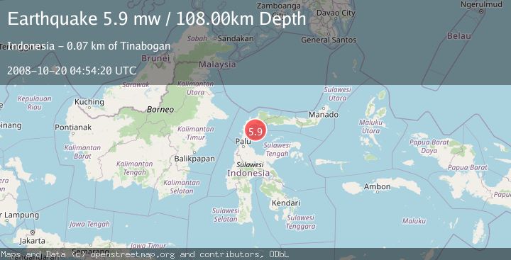
A 5.9 magnitude earthquake struck on MINAHASA, SULAWESI, INDONESIA, at Mon, 20 Oct 2008 04:54:20 GMT. Depth: 108km. Reviewed by EMSC seismologists, this moderate quake occurred at a magnitude type of mw.
Magnitude
5.9
mw
Source
EMSC
Intensity
-
Agency Reports
1 Sources| Source | Magnitude | Depth | Time |
|---|---|---|---|
| EMSCPrimary | 5.9 | 108 km | 17 years ago |
Earthquake Details
AutomaticEvent IDemsc_EMSC_20081020_0000052
Tsunami PotentialNo
Magnitude Typemw
Nearest Places
- Pulau Saluton21.9 km
- Pulau Tobongi23.5 km
- Pulau Simogaling25.5 km
- Pulau Onsulit25.9 km
- Pulau Namboan26.4 km
Comments
Join the discussion about this event.
Latest Earthquakes
2.6Mag
Java, Indonesia
Time14 hours ago
Depth9.39 km
SourceBMKG
0.7Mag
3 km NNW of The Geysers, CA
Time14 hours ago
Depth2.60 km
SourceUSGS (Automatic)
1.1Mag
33 km SSE of Glacier View, Alaska
Time14 hours ago
Depth20.20 km
SourceUSGS (Automatic)
1.8Mag
50 km W of Mentone, Texas
Time14 hours ago
Depth3.75 km
SourceUSGS (Automatic)
0.9Mag
81 km NNW of Karluk, Alaska
Time14 hours ago
Depth34.10 km
SourceUSGS (Automatic)
Nearby Earthquakes
5.1Mag
MINAHASA, SULAWESI, INDONESIA
Time18 years ago
Depth81.00 km
SourceEMSC (Automatic)
2.5Mag
Minahassa Peninsula, Sulawesi
Time3 weeks ago
Depth47.66 km
SourceBMKG (Automatic)
2.3Mag
Minahassa Peninsula, Sulawesi
Time3 days ago
Depth49.58 km
SourceBMKG
5.5Mag
MINAHASA, SULAWESI, INDONESIA
Time8 years ago
Depth100.00 km
SourceEMSC (Automatic)
2.6Mag
Minahassa Peninsula, Sulawesi
Time2 weeks ago
Depth32.31 km
SourceBMKG (Automatic)