Earthquake KEPULAUAN BABAR, INDONESIA
Mon, 17 Nov 2008 23:06:58 GMT
Time17 years ago
Location
-7.1400, 129.6100
Depth
193.0 KM
Event Summary
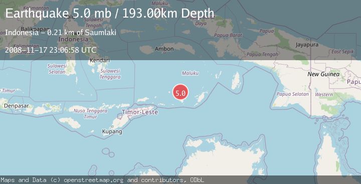
A 5.0 magnitude earthquake struck on KEPULAUAN BABAR, INDONESIA, at Mon, 17 Nov 2008 23:06:58 GMT. Depth: 193km. Reviewed by EMSC seismologists, this moderate quake occurred at a magnitude type of mb.
Magnitude
5.0
mb
Source
EMSC
Intensity
-
Agency Reports
1 Sources| Source | Magnitude | Depth | Time |
|---|---|---|---|
| EMSCPrimary | 5.0 | 193 km | 17 years ago |
Earthquake Details
AutomaticEvent IDemsc_EMSC_20081117_0000075
Tsunami PotentialNo
Magnitude Typemb
Nearest Places
- Damar Ridge36.2 km
- Tanjung Sifanandrierna43.5 km
- Wotai44.4 km
- Bumai45.1 km
- Desa Sinairusi45.5 km
Comments
Join the discussion about this event.
Latest Earthquakes
2.4Mag
western Texas
Time1 minute ago
Depth22.83 km
SourceVYT (Automatic)
3.7Mag
Fox Islands, Aleutian Islands, Alaska
Time3 minutes ago
Depth11.96 km
SourceVYT (Automatic)
2.7Mag
Timor Region
Time6 minutes ago
Depth14.44 km
SourceBMKG
2.2Mag
Halmahera, Indonesia
Time8 minutes ago
Depth4.36 km
SourceBMKG
2.0Mag
Central Alaska
Time13 minutes ago
Depth65.43 km
SourceVYT (Automatic)
Nearby Earthquakes
3.6Mag
Banda Sea
Time5 days ago
Depth179.93 km
SourceVYT (Automatic)
4.0Mag
KEPULAUAN BABAR, INDONESIA
Time6 years ago
Depth202.00 km
SourceDJA (Automatic)
5.8Mag
KEPULAUAN BABAR, INDONESIA
Time1 year ago
Depth80.00 km
SourceEMSC (Automatic)
5.0Mag
KEPULAUAN BABAR, INDONESIA
Time1 year ago
Depth148.40 km
SourceEMSC (Automatic)
4.7Mag
Banda Sea
Time1 week ago
Depth182.13 km
SourceVYT (Automatic)