Earthquake KEPULAUAN SANGIHE, INDONESIA
Sun, 27 Sep 2009 15:16:51 GMT
Time16 years ago
Location
2.7400, 125.8500
Depth
100.0 KM
Event Summary
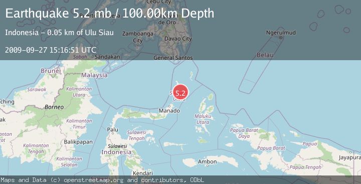
A 5.2 magnitude earthquake struck on KEPULAUAN SANGIHE, INDONESIA, at Sun, 27 Sep 2009 15:16:51 GMT. Depth: 100km. Reviewed by EMSC seismologists, this moderate quake occurred at a magnitude type of mb.
Magnitude
5.2
mb
Source
EMSC
Intensity
-
Agency Reports
1 Sources| Source | Magnitude | Depth | Time |
|---|---|---|---|
| EMSCPrimary | 5.2 | 100 km | 16 years ago |
Earthquake Details
AutomaticEvent IDemsc_EMSC_20090927_0000021
Tsunami PotentialNo
Magnitude Typemb
Nearest Places
- Pulau Batupuntieng39.7 km
- Pulau Batuluha40.4 km
- Pulau Batukemba40.5 km
- Pulau Nenung40.5 km
- Pulau Batupaliaheng41.0 km
Comments
Join the discussion about this event.
Latest Earthquakes
2.8Mag
West Papua Region, Indonesia
Time23 hours ago
Depth34.12 km
SourceBMKG
2.6Mag
Java, Indonesia
Time1 day ago
Depth214.22 km
SourceBMKG
1.0Mag
Southeastern Alaska
Time1 day ago
Depth0.00 km
SourceVYT (Automatic)
3.5Mag
COOK STRAIT, NEW ZEALAND
Time1 day ago
Depth75.30 km
SourceGNS (Automatic)
2.5Mag
Seram, Indonesia
Time1 day ago
Depth21.28 km
SourceBMKG
Nearby Earthquakes
5.3Mag
KEPULAUAN SANGIHE, INDONESIA
Time3 years ago
Depth80.00 km
SourceEMSC (Automatic)
3.0Mag
KEPULAUAN SANGIHE, INDONESIA
Time1 year ago
Depth113.00 km
SourceBMKG (Automatic)
4.0Mag
KEPULAUAN SANGIHE, INDONESIA
Time1 year ago
Depth112.00 km
SourceBMKG (Automatic)
3.5Mag
Molucca Sea
Time6 days ago
Depth114.87 km
SourceVYT (Automatic)
4.0Mag
MOLUCCA SEA
Time6 years ago
Depth102.00 km
SourceDJA (Automatic)