Earthquake SOUTHERN SUMATRA, INDONESIA
Thu, 01 Oct 2009 02:20:34 GMT
Time16 years ago
Location
-2.4400, 101.3800
Depth
30.0 KM
Event Summary
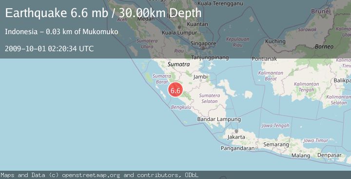
A 6.6 magnitude earthquake struck on SOUTHERN SUMATRA, INDONESIA, at Thu, 01 Oct 2009 02:20:34 GMT. Depth: 30km. Reviewed by EMSC seismologists, this strong quake occurred at a magnitude type of mb.
Magnitude
6.6
mb
Source
EMSC
Intensity
-
Agency Reports
1 Sources| Source | Magnitude | Depth | Time |
|---|---|---|---|
| EMSCPrimary | 6.6 | 10 km | 16 years ago |
Earthquake Details
AutomaticEvent IDemsc_EMSC_20091001_0000005
Tsunami PotentialNo
Magnitude Typemb
Nearest Places
- Sungai Jernih2.6 km
- Desa Aur Cina2.9 km
- Desa Talang Sepakat2.9 km
- Bukit Payung3.7 km
- Desa Lubuk Bangko4.0 km
Comments
Join the discussion about this event.
Latest Earthquakes
2.7Mag
Kenai Peninsula, Alaska
Time7 hours ago
Depth37.60 km
SourceVYT (Automatic)
3.6Mag
BANGLADESH
Time7 hours ago
Depth30.20 km
SourceNDI (Automatic)
1.1Mag
Washington
Time7 hours ago
Depth0.00 km
SourceVYT (Automatic)
3.2Mag
Region Metropolitana, Chile
Time7 hours ago
Depth99.73 km
SourceVYT (Automatic)
2.4Mag
Sumba Region, Indonesia
Time7 hours ago
Depth17.38 km
SourceBMKG
Nearby Earthquakes
3.5Mag
Southern Sumatra, Indonesia
Time2 weeks ago
Depth67.02 km
SourceBMKG (Automatic)
2.6Mag
southern Sumatra, Indonesia
Time3 days ago
Depth18.80 km
SourceVYT (Automatic)
2.9Mag
Southern Sumatra, Indonesia
Time3 weeks ago
Depth14.34 km
SourceBMKG (Automatic)
3.0Mag
SOUTHERN SUMATRA, INDONESIA
Time3 years ago
Depth42.00 km
SourceDJA (Automatic)
5.5Mag
SOUTHERN SUMATRA, INDONESIA
Time18 years ago
Depth66.00 km
SourceEMSC (Automatic)