Earthquake SUNDA STRAIT, INDONESIA
Thu, 12 Nov 2009 12:53:06 GMT
Time16 years ago
Location
-6.0600, 104.0300
Depth
48.0 KM
Event Summary
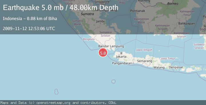
A 5.0 magnitude earthquake struck on SUNDA STRAIT, INDONESIA, at Thu, 12 Nov 2009 12:53:06 GMT. Depth: 48km. Reviewed by EMSC seismologists, this moderate quake occurred at a magnitude type of mb.
Magnitude
5.0
mb
Source
EMSC
Intensity
-
Agency Reports
1 Sources| Source | Magnitude | Depth | Time |
|---|---|---|---|
| EMSCPrimary | 5.0 | 48 km | 16 years ago |
Earthquake Details
AutomaticEvent IDemsc_EMSC_20091112_0000019
Tsunami PotentialNo
Magnitude Typemb
Nearest Places
- Enggano Basin31.7 km
- Pulau Betuah49.3 km
- Wai Cukung56.3 km
- Cukuh Batuberagam56.6 km
- Wai Pemerihan57.1 km
Comments
Join the discussion about this event.
Latest Earthquakes
2.8Mag
OFFSHORE EL SALVADOR
Time3 minutes ago
Depth18.00 km
SourceINET (Automatic)
1.6Mag
Pyrenees
Time7 minutes ago
Depth0.00 km
SourceVYT (Automatic)
1.0Mag
110 km S of McCarthy, Alaska
Time8 minutes ago
Depth16.50 km
SourceUSGS (Automatic)
0.7Mag
Southern Alaska
Time15 minutes ago
Depth0.00 km
SourceVYT (Automatic)
2.4Mag
Minahassa Peninsula, Sulawesi
Time17 minutes ago
Depth9.93 km
SourceBMKG
Nearby Earthquakes
3.7Mag
Southwest of Sumatra, Indonesia
Time3 weeks ago
Depth3.70 km
SourceBMKG (Automatic)
3.0Mag
SOUTHERN SUMATRA, INDONESIA
Time3 months ago
Depth25.00 km
SourceBMKG (Automatic)
3.5Mag
SOUTHERN SUMATRA, INDONESIA
Time1 month ago
Depth10.00 km
SourceBMKG (Automatic)
5.2Mag
SUNDA STRAIT, INDONESIA
Time3 years ago
Depth80.00 km
SourceEMSC (Automatic)
3.4Mag
SOUTHWEST OF SUMATRA, INDONESIA
Time1 month ago
Depth9.00 km
SourceBMKG (Automatic)