Earthquake KERMADEC ISLANDS REGION
Sun, 22 Nov 2009 22:47:28 GMT
Time16 years ago
Location
-31.6500, 179.6600
Depth
440.0 KM
Event Summary
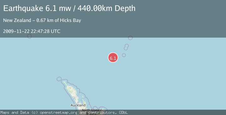
A 6.1 magnitude earthquake struck on KERMADEC ISLANDS REGION, at Sun, 22 Nov 2009 22:47:28 GMT. Depth: 440km. Reviewed by EMSC seismologists, this strong quake occurred at a magnitude type of mw.
Magnitude
6.1
mw
Source
EMSC
Intensity
-
Agency Reports
1 Sources| Source | Magnitude | Depth | Time |
|---|---|---|---|
| EMSCPrimary | 6.1 | 440 km | 16 years ago |
Earthquake Details
AutomaticEvent IDemsc_EMSC_20091122_0000035
Tsunami PotentialNo
Magnitude Typemw
Nearest Places
- Havre Trough81.3 km
- Oliver Knoll104.0 km
- Speight Knoll108.3 km
- Haungaroa Seamount126.7 km
- Havre Rock131.3 km
Comments
Join the discussion about this event.
Latest Earthquakes
4.5Mag
Tarapaca, Chile
Time4 minutes ago
Depth128.42 km
SourceVYT (Automatic)
1.5Mag
4 km NE of Muscoy, CA
Time10 minutes ago
Depth7.69 km
SourceUSGS (Automatic)
0.8Mag
6 km W of Cobb, CA
Time11 minutes ago
Depth0.90 km
SourceUSGS (Automatic)
1.4Mag
Southern Alaska
Time15 minutes ago
Depth70.19 km
SourceVYT (Automatic)
1.3Mag
14 km SW of Toms Place, CA
Time16 minutes ago
Depth5.49 km
SourceUSGS (Automatic)
Nearby Earthquakes
5.4Mag
KERMADEC ISLANDS REGION
Time18 years ago
Depth370.00 km
SourceEMSC (Automatic)
5.4Mag
KERMADEC ISLANDS REGION
Time19 years ago
Depth400.00 km
SourceEMSC (Automatic)
5.0Mag
KERMADEC ISLANDS REGION
Time5 years ago
Depth425.00 km
SourceEMSC (Automatic)
4.0Mag
KERMADEC ISLANDS REGION
Time4 years ago
Depth467.00 km
SourceGNS (Automatic)
5.2Mag
KERMADEC ISLANDS REGION
Time4 years ago
Depth400.00 km
SourceEMSC (Automatic)