Earthquake KERMADEC ISLANDS REGION
Fri, 11 Jun 2021 11:51:14 GMT
Time4 years ago
Location
-31.7300, 179.7000
Depth
467.0 KM
Event Summary
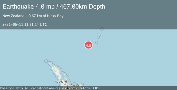
A 4.0 magnitude earthquake struck on KERMADEC ISLANDS REGION, at Fri, 11 Jun 2021 11:51:14 GMT. Depth: 467km. Reviewed by GNS seismologists, this light quake occurred at a magnitude type of mb.
Magnitude
4.0
mb
Source
GNS
Intensity
-
Agency Reports
1 Sources| Source | Magnitude | Depth | Time |
|---|---|---|---|
| GNSPrimary | 4.0 | 467 km | 4 years ago |
Earthquake Details
AutomaticEvent IDemsc_GNS_20210611_0000101
Tsunami PotentialNo
Magnitude Typemb
Nearest Places
- Havre Trough80.0 km
- Oliver Knoll94.7 km
- Speight Knoll99.1 km
- Haungaroa Seamount117.2 km
- Havre Rock130.2 km
Comments
Join the discussion about this event.
Latest Earthquakes
2.2Mag
Central Alaska
Time1 minute ago
Depth9.77 km
SourceVYT (Automatic)
2.3Mag
Sulawesi, Indonesia
Time5 minutes ago
Depth0.00 km
SourceVYT (Automatic)
3.5Mag
northern Colombia
Time7 minutes ago
Depth205.20 km
SourceVYT (Automatic)
1.8Mag
Southern California
Time7 minutes ago
Depth22.83 km
SourceVYT (Automatic)
2.1Mag
CENTRAL TURKEY
Time7 minutes ago
Depth5.00 km
SourceKOERI (Automatic)
Nearby Earthquakes
5.4Mag
KERMADEC ISLANDS REGION
Time18 years ago
Depth370.00 km
SourceEMSC (Automatic)
5.2Mag
KERMADEC ISLANDS REGION
Time4 years ago
Depth400.00 km
SourceEMSC (Automatic)
6.1Mag
KERMADEC ISLANDS REGION
Time16 years ago
Depth440.00 km
SourceEMSC (Automatic)
5.0Mag
KERMADEC ISLANDS REGION
Time5 years ago
Depth425.00 km
SourceEMSC (Automatic)
5.4Mag
KERMADEC ISLANDS REGION
Time19 years ago
Depth400.00 km
SourceEMSC (Automatic)