Earthquake KERMADEC ISLANDS REGION
Mon, 20 Sep 2021 18:08:16 GMT
Time4 years ago
Location
-31.8000, 179.6500
Depth
400.0 KM
Event Summary
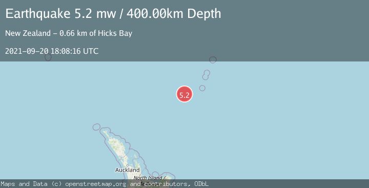
A 5.2 magnitude earthquake struck on KERMADEC ISLANDS REGION, at Mon, 20 Sep 2021 18:08:16 GMT. Depth: 400km. Reviewed by EMSC seismologists, this moderate quake occurred at a magnitude type of mw.
Magnitude
5.2
mw
Source
EMSC
Intensity
-
Agency Reports
1 Sources| Source | Magnitude | Depth | Time |
|---|---|---|---|
| EMSCPrimary | 5.2 | 400 km | 4 years ago |
Earthquake Details
AutomaticEvent IDemsc_EMSC_20210920_0000139
Tsunami PotentialNo
Magnitude Typemw
Nearest Places
- Havre Trough87.1 km
- Oliver Knoll91.9 km
- Speight Knoll97.0 km
- Haungaroa Seamount113.4 km
- Star of Bengal Bank136.3 km
Comments
Join the discussion about this event.
Latest Earthquakes
2.3Mag
Sulawesi, Indonesia
Time3 minutes ago
Depth0.00 km
SourceVYT (Automatic)
3.5Mag
northern Colombia
Time5 minutes ago
Depth205.20 km
SourceVYT (Automatic)
1.8Mag
Southern California
Time5 minutes ago
Depth22.83 km
SourceVYT (Automatic)
2.7Mag
Halmahera, Indonesia
Time8 minutes ago
Depth92.18 km
SourceBMKG
2.6Mag
Poland
Time9 minutes ago
Depth5.00 km
SourceVYT (Automatic)
Nearby Earthquakes
4.0Mag
KERMADEC ISLANDS REGION
Time4 years ago
Depth467.00 km
SourceGNS (Automatic)
4.4Mag
KERMADEC ISLANDS REGION
Time1 month ago
Depth454.80 km
SourceNEIC (Automatic)
5.1Mag
KERMADEC ISLANDS REGION
Time11 years ago
Depth438.00 km
SourceEMSC (Automatic)
5.4Mag
KERMADEC ISLANDS REGION
Time18 years ago
Depth370.00 km
SourceEMSC (Automatic)
6.1Mag
KERMADEC ISLANDS REGION
Time16 years ago
Depth440.00 km
SourceEMSC (Automatic)