Earthquake HALMAHERA, INDONESIA
Fri, 08 Oct 2010 05:43:09 GMT
Time15 years ago
Location
2.8500, 128.2700
Depth
132.0 KM
Event Summary
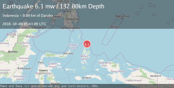
A 6.1 magnitude earthquake struck on HALMAHERA, INDONESIA, at Fri, 08 Oct 2010 05:43:09 GMT. Depth: 132km. Reviewed by EMSC seismologists, this strong quake occurred at a magnitude type of mw.
Magnitude
6.1
mw
Source
EMSC
Intensity
-
Agency Reports
1 Sources| Source | Magnitude | Depth | Time |
|---|---|---|---|
| EMSCPrimary | 6.1 | 132 km | 15 years ago |
Earthquake Details
AutomaticEvent IDemsc_EMSC_20101008_0000008
Tsunami PotentialNo
Magnitude Typemw
Nearest Places
- Morotai Basin34.3 km
- Tanjung Padangi35.7 km
- Tanjung Berri Berri35.8 km
- Bere Bere37.0 km
- Padangi37.2 km
Comments
Join the discussion about this event.
Latest Earthquakes
2.9Mag
Central Alaska
Time3 minutes ago
Depth0.00 km
SourceVYT (Automatic)
1.9Mag
Kenai Peninsula, Alaska
Time5 minutes ago
Depth67.87 km
SourceVYT (Automatic)
1.2Mag
Southeastern Alaska
Time9 minutes ago
Depth35.28 km
SourceVYT (Automatic)
3.3Mag
off the coast of Libertador O'Higgins, Chile
Time13 minutes ago
Depth10.00 km
SourceVYT (Automatic)
1.0Mag
6 km SSW of Redlands, CA
Time15 minutes ago
Depth10.39 km
SourceUSGS (Automatic)
Nearby Earthquakes
3.1Mag
Halmahera, Indonesia
Time2 weeks ago
Depth118.67 km
SourceBMKG (Automatic)
5.7Mag
HALMAHERA, INDONESIA
Time9 years ago
Depth60.00 km
SourceEMSC (Automatic)
3.0Mag
HALMAHERA, INDONESIA
Time2 years ago
Depth10.00 km
SourceDJA (Automatic)
4.0Mag
HALMAHERA, INDONESIA
Time5 years ago
Depth10.00 km
SourceDJA (Automatic)
5.0Mag
HALMAHERA, INDONESIA
Time20 years ago
Depth80.00 km
SourceEMSC (Automatic)