Earthquake HALMAHERA, INDONESIA
Sat, 21 Jan 2017 05:16:33 GMT
Time9 years ago
Location
2.8700, 128.2200
Depth
60.0 KM
Event Summary
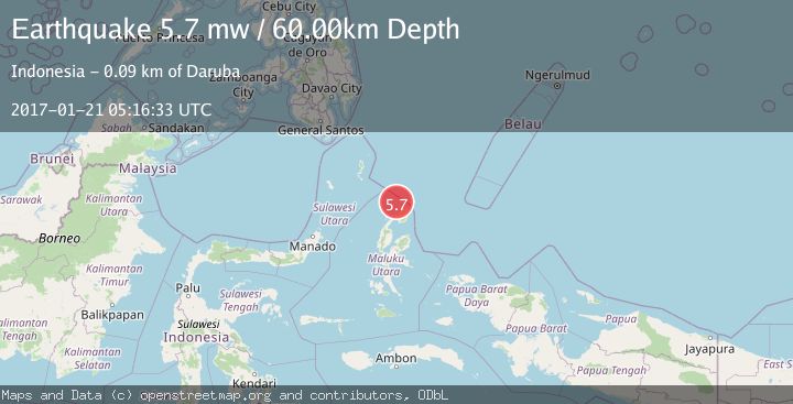
A 5.7 magnitude earthquake struck on HALMAHERA, INDONESIA, at Sat, 21 Jan 2017 05:16:33 GMT. Depth: 60km. Reviewed by EMSC seismologists, this moderate quake occurred at a magnitude type of mw.
Magnitude
5.7
mw
Source
EMSC
Intensity
-
Agency Reports
1 Sources| Source | Magnitude | Depth | Time |
|---|---|---|---|
| EMSCPrimary | 5.7 | 60 km | 9 years ago |
Earthquake Details
AutomaticEvent IDemsc_EMSC_20170121_0000009
Tsunami PotentialNo
Magnitude Typemw
Nearest Places
- Morotai Basin28.4 km
- Tanjung Berri Berri40.7 km
- Tanjung Padangi41.0 km
- Bere Bere42.0 km
- Padangi42.4 km
Comments
Join the discussion about this event.
Latest Earthquakes
1.4Mag
Kenai Peninsula, Alaska
Time4 minutes ago
Depth1.95 km
SourceVYT (Automatic)
3.1Mag
Northern Sumatra, Indonesia
Time4 minutes ago
Depth14.69 km
SourceBMKG
1.9Mag
Channel Islands region, California
Time5 minutes ago
Depth2.81 km
SourceVYT (Automatic)
3.3Mag
Southern Alaska
Time12 minutes ago
Depth13.06 km
SourceVYT (Automatic)
1.9Mag
Southern Yukon Territory, Canada
Time12 minutes ago
Depth0.00 km
SourceVYT (Automatic)
Nearby Earthquakes
4.0Mag
HALMAHERA, INDONESIA
Time5 years ago
Depth10.00 km
SourceDJA (Automatic)
3.1Mag
Halmahera, Indonesia
Time2 weeks ago
Depth118.67 km
SourceBMKG (Automatic)
6.1Mag
HALMAHERA, INDONESIA
Time15 years ago
Depth132.00 km
SourceEMSC (Automatic)
4.0Mag
HALMAHERA, INDONESIA
Time4 years ago
Depth104.00 km
SourceDJA (Automatic)
5.0Mag
HALMAHERA, INDONESIA
Time7 years ago
Depth56.00 km
SourceEMSC (Automatic)