Earthquake KEPULAUAN BARAT DAYA, INDONESIA
Wed, 04 Jan 2012 15:35:52 GMT
Time14 years ago
Location
-7.4100, 128.8300
Depth
162.0 KM
Event Summary
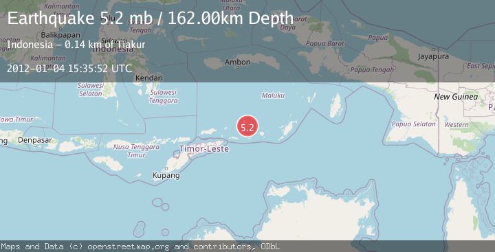
A 5.2 magnitude earthquake struck on KEPULAUAN BARAT DAYA, INDONESIA, at Wed, 04 Jan 2012 15:35:52 GMT. Depth: 162km. Reviewed by EMSC seismologists, this moderate quake occurred at a magnitude type of mb.
Magnitude
5.2
mb
Source
EMSC
Intensity
-
Agency Reports
1 Sources| Source | Magnitude | Depth | Time |
|---|---|---|---|
| EMSCPrimary | 5.2 | 162 km | 14 years ago |
Earthquake Details
AutomaticEvent IDemsc_EMSC_20120104_0000040
Tsunami PotentialNo
Magnitude Typemb
Nearest Places
- Tanjung Paran29.9 km
- Pulau Terbang Selatan30.2 km
- Tanjung Watlewantutu30.4 km
- Tanjung Tutuwain31.5 km
- Desa Ilih32.0 km
Comments
Join the discussion about this event.
Latest Earthquakes
3.7Mag
Tarapaca, Chile
Time2 minutes ago
Depth86.67 km
SourceVYT (Automatic)
2.5Mag
Ceram Sea
Time4 minutes ago
Depth3.27 km
SourceBMKG
2.1Mag
Halmahera, Indonesia
Time7 minutes ago
Depth4.45 km
SourceBMKG
3.4Mag
Talaud Islands, Indonesia
Time10 minutes ago
Depth98.99 km
SourceBMKG
2.1Mag
Flores Region, Indonesia
Time11 minutes ago
Depth165.90 km
SourceBMKG
Nearby Earthquakes
5.2Mag
KEPULAUAN BARAT DAYA, INDONESIA
Time3 years ago
Depth161.00 km
SourceEMSC (Automatic)
4.2Mag
Banda Sea
Time2 weeks ago
Depth190.86 km
SourceBMKG (Automatic)
5.3Mag
KEPULAUAN BARAT DAYA, INDONESIA
Time6 years ago
Depth137.00 km
SourceEMSC (Automatic)
5.4Mag
KEPULAUAN BARAT DAYA, INDONESIA
Time7 years ago
Depth152.00 km
SourceEMSC (Automatic)
4.0Mag
KEPULAUAN BARAT DAYA, INDONESIA
Time1 year ago
Depth132.30 km
SourceNEIC (Automatic)