Earthquake KEPULAUAN KAI, INDONESIA
Wed, 22 Feb 2012 10:45:21 GMT
Time14 years ago
Location
-5.1900, 133.5900
Depth
10.0 KM
Event Summary
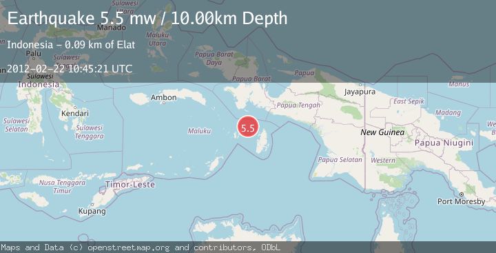
A 5.5 magnitude earthquake struck on KEPULAUAN KAI, INDONESIA, at Wed, 22 Feb 2012 10:45:21 GMT. Depth: 10km. Reviewed by EMSC seismologists, this moderate quake occurred at a magnitude type of mw.
Magnitude
5.5
mw
Source
EMSC
Intensity
-
Agency Reports
1 Sources| Source | Magnitude | Depth | Time |
|---|---|---|---|
| EMSCPrimary | 5.5 | 10 km | 14 years ago |
Earthquake Details
AutomaticEvent IDemsc_EMSC_20120222_0000024
Tsunami PotentialNo
Magnitude Typemw
Nearest Places
- Ohoirat46.6 km
- Labuhan Dabu47.3 km
- Tanjung Oratu47.5 km
- Tanjung Ngarmin47.7 km
- Har48.1 km
Comments
Join the discussion about this event.
Latest Earthquakes
1.2Mag
Southern Alaska
Time6 minutes ago
Depth37.11 km
SourceVYT (Automatic)
3.0Mag
Seram, Indonesia
Time6 minutes ago
Depth12.36 km
SourceBMKG
1.1Mag
Washington
Time10 minutes ago
Depth9.64 km
SourceVYT (Automatic)
1.3Mag
WESTERN TURKEY
Time10 minutes ago
Depth8.60 km
SourceAFAD (Automatic)
1.9Mag
32 km NW of Toyah, Texas
Time12 minutes ago
Depth4.09 km
SourceUSGS (Automatic)
Nearby Earthquakes
3.3Mag
KEPULAUAN KAI, INDONESIA
Time1 month ago
Depth130.00 km
SourceBMKG (Automatic)
4.0Mag
Aru Islands Region, Indonesia
Time1 day ago
Depth8.89 km
SourceBMKG
7.2Mag
KEPULAUAN KAI, INDONESIA
Time15 years ago
Depth30.00 km
SourceEMSC (Automatic)
5.3Mag
NEAR S COAST OF PAPUA, INDONESIA
Time15 years ago
Depth15.00 km
SourceEMSC (Automatic)
5.5Mag
KEPULAUAN KAI, INDONESIA
Time15 years ago
Depth10.00 km
SourceEMSC (Automatic)