Earthquake Aru Islands Region, Indonesia
Tue, 17 Feb 2026 08:02:52 GMT
Time1 day ago
Location
-5.3135, 133.5031
Depth
8.9 KM
Event Summary
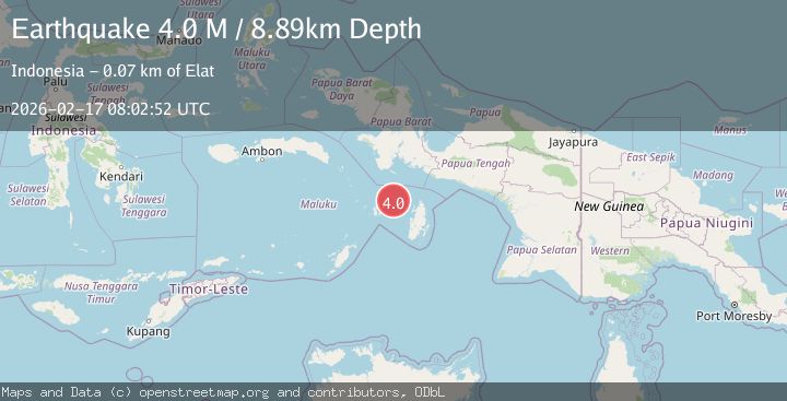
A 4.0 magnitude earthquake struck on Aru Islands Region, Indonesia, at Tue, 17 Feb 2026 08:02:52 GMT. Depth: 8.887016km. Reviewed by BMKG seismologists, this light quake occurred at a magnitude type of M.
Magnitude
4.0
M
Source
BMKG
Intensity
-
Agency Reports
1 Sources| Source | Magnitude | Depth | Time |
|---|---|---|---|
| BMKGPrimary | 4.0 | 9 km | 1 day ago |
Earthquake Details
ManualEvent IDbmg2026dimp
Tsunami PotentialNo
Magnitude TypeM
Nearest Places
- Ohoirat35.0 km
- Tanjung Ngarmin35.1 km
- Har35.8 km
- Tanjung Oratu36.3 km
- Labuhan Dabu36.3 km
Comments
Join the discussion about this event.
Latest Earthquakes
2.3Mag
northern Alaska
Time5 hours ago
Depth0.00 km
SourceVYT (Automatic)
4.3Mag
Antofagasta, Chile
Time5 hours ago
Depth131.35 km
SourceVYT (Automatic)
1.8Mag
Kenai Peninsula, Alaska
Time5 hours ago
Depth42.24 km
SourceVYT (Automatic)
1.7Mag
Central Alaska
Time5 hours ago
Depth196.04 km
SourceVYT (Automatic)
3.0Mag
WESTERN TURKEY
Time5 hours ago
Depth10.40 km
SourceKOERI (Automatic)
Nearby Earthquakes
5.5Mag
KEPULAUAN KAI, INDONESIA
Time14 years ago
Depth10.00 km
SourceEMSC (Automatic)
7.2Mag
KEPULAUAN KAI, INDONESIA
Time15 years ago
Depth30.00 km
SourceEMSC (Automatic)
3.3Mag
KEPULAUAN KAI, INDONESIA
Time1 month ago
Depth130.00 km
SourceBMKG (Automatic)
5.4Mag
KEPULAUAN KAI, INDONESIA
Time16 years ago
Depth10.00 km
SourceEMSC (Automatic)
5.0Mag
KEPULAUAN KAI, INDONESIA
Time18 years ago
Depth33.00 km
SourceEMSC (Automatic)