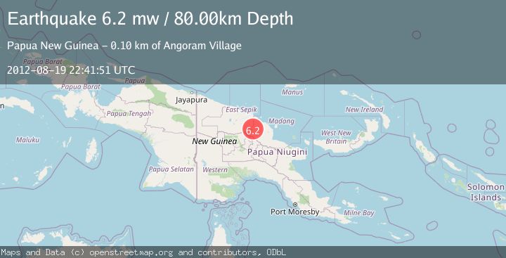
Earthquake NEAR N COAST OF NEW GUINEA, PNG.
Sun, 19 Aug 2012 22:41:51 GMT
Time13 years ago
Location
-4.8100, 144.5800
Depth
80.0 KM
Event Summary
A 6.2 magnitude earthquake struck on NEAR N COAST OF NEW GUINEA, PNG., at Sun, 19 Aug 2012 22:41:51 GMT. Depth: 80km. Reviewed by EMSC seismologists, this strong quake occurred at a magnitude type of mw.
Magnitude
6.2
mw
Source
EMSC
Intensity
-
Agency Reports
1 Sources| Source | Magnitude | Depth | Time |
|---|---|---|---|
| EMSCPrimary | 6.2 | 80 km | 13 years ago |
Earthquake Details
AutomaticEvent IDemsc_EMSC_20120819_0000072
Tsunami PotentialNo
Magnitude Typemw
Comments
Join the discussion about this event.
Latest Earthquakes
2.2Mag
ISLAND OF HAWAII, HAWAII
Time5 minutes ago
Depth31.50 km
SourceHV (Automatic)
2.5Mag
Java, Indonesia
Time8 minutes ago
Depth35.11 km
SourceBMKG
1.4Mag
13 km N of Meadow Lakes, Alaska
Time15 minutes ago
Depth28.30 km
SourceUSGS (Automatic)
2.6Mag
West Papua Region, Indonesia
Time15 minutes ago
Depth72.97 km
SourceBMKG
2.1Mag
Southern Alaska
Time15 minutes ago
Depth0.00 km
SourceVYT (Automatic)
Nearby Earthquakes
5.4Mag
NEAR N COAST OF NEW GUINEA, PNG.
Time19 years ago
Depth33.00 km
SourceEMSC (Automatic)
5.1Mag
NEAR N COAST OF NEW GUINEA, PNG.
Time16 years ago
Depth80.00 km
SourceEMSC (Automatic)
5.0Mag
NEAR N COAST OF NEW GUINEA, PNG.
Time3 years ago
Depth80.00 km
SourceEMSC (Automatic)
5.1Mag
NEW GUINEA, PAPUA NEW GUINEA
Time12 years ago
Depth80.00 km
SourceEMSC (Automatic)
4.5Mag
NEAR N COAST OF NEW GUINEA, PNG.
Time1 month ago
Depth92.70 km
SourceNEIC (Automatic)