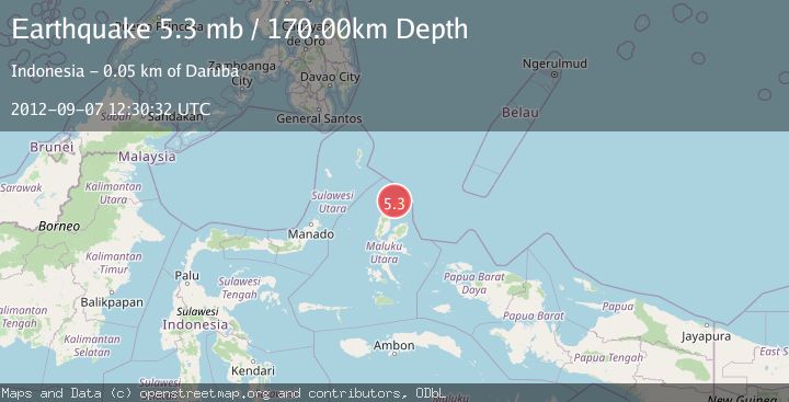
Earthquake HALMAHERA, INDONESIA
Fri, 07 Sep 2012 12:30:32 GMT
Time13 years ago
Location
2.4600, 128.2200
Depth
170.0 KM
Event Summary
A 5.3 magnitude earthquake struck on HALMAHERA, INDONESIA, at Fri, 07 Sep 2012 12:30:32 GMT. Depth: 170km. Reviewed by EMSC seismologists, this moderate quake occurred at a magnitude type of mb.
Magnitude
5.3
mb
Source
EMSC
Intensity
-
Agency Reports
1 Sources| Source | Magnitude | Depth | Time |
|---|---|---|---|
| EMSCPrimary | 5.3 | 170 km | 13 years ago |
Earthquake Details
AutomaticEvent IDemsc_EMSC_20120907_0000045
Tsunami PotentialNo
Magnitude Typemb
Nearest Places
- Pulau Tuanane7.8 km
- Tanjung Papaye8.0 km
- Tanjung Gerongu8.9 km
- Laumadoro9.1 km
- Cio Gerong9.2 km
Comments
Join the discussion about this event.
Latest Earthquakes
2.1Mag
Antofagasta, Chile
Time8 hours ago
Depth20.26 km
SourceVYT (Automatic)
1.5Mag
48 km WNW of Tatitlek, Alaska
Time8 hours ago
Depth5.00 km
SourceUSGS (Automatic)
2.7Mag
Unimak Island region, Alaska
Time8 hours ago
Depth0.00 km
SourceVYT (Automatic)
1.6Mag
Kenai Peninsula, Alaska
Time8 hours ago
Depth78.98 km
SourceVYT (Automatic)
2.3Mag
Region Metropolitana, Chile
Time8 hours ago
Depth19.17 km
SourceVYT (Automatic)
Nearby Earthquakes
3.9Mag
Halmahera, Indonesia
Time1 day ago
Depth70.80 km
SourceVYT (Automatic)
4.0Mag
HALMAHERA, INDONESIA
Time6 years ago
Depth164.00 km
SourceDJA (Automatic)
3.0Mag
HALMAHERA, INDONESIA
Time1 year ago
Depth10.00 km
SourceBMKG (Automatic)
5.0Mag
HALMAHERA, INDONESIA
Time10 years ago
Depth130.00 km
SourceEMSC (Automatic)
5.3Mag
HALMAHERA, INDONESIA
Time8 years ago
Depth48.00 km
SourceEMSC (Automatic)