Earthquake KERMADEC ISLANDS, NEW ZEALAND
Mon, 18 Feb 2013 12:19:15 GMT
Time13 years ago
Location
-30.6800, -178.0700
Depth
10.0 KM
Event Summary
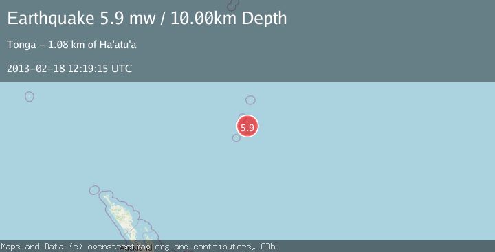
A 5.9 magnitude earthquake struck on KERMADEC ISLANDS, NEW ZEALAND, at Mon, 18 Feb 2013 12:19:15 GMT. Depth: 10km. Reviewed by EMSC seismologists, this moderate quake occurred at a magnitude type of mw.
Magnitude
5.9
mw
Source
EMSC
Intensity
-
Agency Reports
1 Sources| Source | Magnitude | Depth | Time |
|---|---|---|---|
| EMSCPrimary | 5.9 | 10 km | 13 years ago |
Earthquake Details
AutomaticEvent IDemsc_EMSC_20130218_0000045
Tsunami PotentialNo
Magnitude Typemw
Nearest Places
- Kermadec Ridge45.8 km
- Curtis Island49.2 km
- Macdonald Cove49.2 km
- Stella Passage49.3 km
- Cheeseman Island50.3 km
Comments
Join the discussion about this event.
Latest Earthquakes
0.9Mag
6 km NNE of Corralitos, CA
Time10 minutes ago
Depth6.95 km
SourceUSGS (Automatic)
2.0Mag
Seram, Indonesia
Time15 minutes ago
Depth15.15 km
SourceBMKG
4.4Mag
north of Halmahera, Indonesia
Time17 minutes ago
Depth10.00 km
SourceVYT (Automatic)
4.4Mag
NORTH OF HALMAHERA, INDONESIA
Time17 minutes ago
Depth10.00 km
SourceBMKG (Automatic)
3.1Mag
Sulawesi, Indonesia
Time19 minutes ago
Depth0.00 km
SourceVYT (Automatic)
Nearby Earthquakes
5.4Mag
KERMADEC ISLANDS, NEW ZEALAND
Time17 years ago
Depth58.00 km
SourceEMSC (Automatic)
5.3Mag
KERMADEC ISLANDS, NEW ZEALAND
Time7 years ago
Depth10.00 km
SourceEMSC (Automatic)
5.1Mag
KERMADEC ISLANDS, NEW ZEALAND
Time4 years ago
Depth20.00 km
SourceEMSC (Automatic)
5.3Mag
KERMADEC ISLANDS, NEW ZEALAND
Time19 years ago
Depth33.00 km
SourceEMSC (Automatic)
4.0Mag
KERMADEC ISLANDS, NEW ZEALAND
Time2 years ago
Depth26.50 km
SourceNEIC (Automatic)