Earthquake PAPUA, INDONESIA
Wed, 17 Apr 2013 05:05:04 GMT
Time12 years ago
Location
-2.8000, 138.7300
Depth
59.0 KM
Event Summary
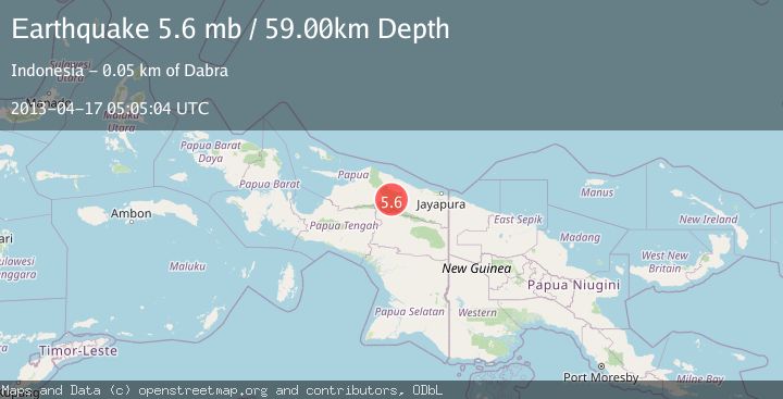
A 5.6 magnitude earthquake struck on PAPUA, INDONESIA, at Wed, 17 Apr 2013 05:05:04 GMT. Depth: 59km. Reviewed by EMSC seismologists, this moderate quake occurred at a magnitude type of mb.
Magnitude
5.6
mb
Source
EMSC
Intensity
-
Agency Reports
1 Sources| Source | Magnitude | Depth | Time |
|---|---|---|---|
| EMSCPrimary | 5.6 | 59 km | 12 years ago |
Earthquake Details
AutomaticEvent IDemsc_EMSC_20130417_0000021
Tsunami PotentialNo
Magnitude Typemb
Nearest Places
- Kampung Papasena I7.5 km
- Distrik Mamberamo Hulu12.9 km
- Kampung Fokri22.7 km
- Kampung Papasena II26.7 km
- Pegunungan Gauttier27.6 km
Comments
Join the discussion about this event.
Latest Earthquakes
2.2Mag
Seram, Indonesia
Time3 minutes ago
Depth11.12 km
SourceBMKG
2.6Mag
West Papua Region, Indonesia
Time5 minutes ago
Depth17.35 km
SourceBMKG
2.8Mag
Antofagasta, Chile
Time9 minutes ago
Depth0.00 km
SourceVYT (Automatic)
3.3Mag
Near North Coast of West Papua
Time10 minutes ago
Depth10.00 km
SourceBMKG
2.5Mag
off the coast of Tarapaca, Chile
Time11 minutes ago
Depth0.00 km
SourceVYT (Automatic)
Nearby Earthquakes
4.0Mag
PAPUA, INDONESIA
Time6 years ago
Depth35.00 km
SourceNEIC (Automatic)
5.9Mag
PAPUA, INDONESIA
Time7 years ago
Depth10.00 km
SourceEMSC (Automatic)
4.0Mag
PAPUA, INDONESIA
Time6 years ago
Depth10.00 km
SourceDJA (Automatic)
5.0Mag
PAPUA, INDONESIA
Time13 years ago
Depth66.00 km
SourceGFZ (Automatic)
5.1Mag
PAPUA, INDONESIA
Time13 years ago
Depth60.00 km
SourceEMSC (Automatic)