Earthquake SOUTH OF FIJI ISLANDS
Fri, 26 Jul 2013 19:08:30 GMT
Time12 years ago
Location
-23.2300, 179.2400
Depth
563.0 KM
Event Summary
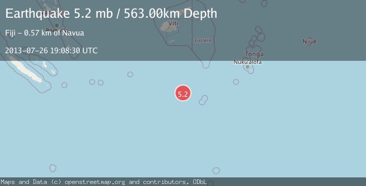
A 5.2 magnitude earthquake struck on SOUTH OF FIJI ISLANDS, at Fri, 26 Jul 2013 19:08:30 GMT. Depth: 563km. Reviewed by EMSC seismologists, this moderate quake occurred at a magnitude type of mb.
Magnitude
5.2
mb
Source
EMSC
Intensity
-
Agency Reports
1 Sources| Source | Magnitude | Depth | Time |
|---|---|---|---|
| EMSCPrimary | 5.2 | 563 km | 12 years ago |
Earthquake Details
AutomaticEvent IDemsc_EMSC_20130726_0000060
Tsunami PotentialNo
Magnitude Typemb
Nearest Places
- South Minerva Reef184.1 km
- Herald Bight184.1 km
- Minerva Reefs191.6 km
- North Minerva Reef191.7 km
- Naicibaciba Rock313.3 km
Comments
Join the discussion about this event.
Latest Earthquakes
2.8Mag
West Papua Region, Indonesia
Time19 hours ago
Depth34.12 km
SourceBMKG
2.6Mag
Java, Indonesia
Time19 hours ago
Depth214.22 km
SourceBMKG
1.0Mag
Southeastern Alaska
Time19 hours ago
Depth0.00 km
SourceVYT (Automatic)
3.5Mag
COOK STRAIT, NEW ZEALAND
Time19 hours ago
Depth75.30 km
SourceGNS (Automatic)
2.5Mag
Seram, Indonesia
Time19 hours ago
Depth21.28 km
SourceBMKG
Nearby Earthquakes
6.3Mag
SOUTH OF FIJI ISLANDS
Time15 years ago
Depth556.00 km
SourceEMSC (Automatic)
5.3Mag
SOUTH OF FIJI ISLANDS
Time10 years ago
Depth551.00 km
SourceEMSC (Automatic)
5.9Mag
SOUTH OF FIJI ISLANDS
Time9 years ago
Depth550.00 km
SourceEMSC (Automatic)
6.3Mag
SOUTH OF FIJI ISLANDS
Time9 years ago
Depth561.00 km
SourceEMSC (Automatic)
5.0Mag
SOUTH OF FIJI ISLANDS
Time1 year ago
Depth548.00 km
SourceEMSC (Automatic)