Earthquake KEPULAUAN BARAT DAYA, INDONESIA
Tue, 04 Feb 2014 00:27:06 GMT
Time12 years ago
Location
-7.2400, 128.1800
Depth
4.0 KM
Event Summary
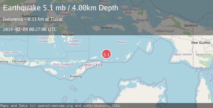
A 5.1 magnitude earthquake struck on KEPULAUAN BARAT DAYA, INDONESIA, at Tue, 04 Feb 2014 00:27:06 GMT. Depth: 4km. Reviewed by EMSC seismologists, this moderate quake occurred at a magnitude type of mb.
Magnitude
5.1
mb
Source
EMSC
Intensity
-
Agency Reports
1 Sources| Source | Magnitude | Depth | Time |
|---|---|---|---|
| EMSCPrimary | 5.1 | 4 km | 12 years ago |
Earthquake Details
AutomaticEvent IDemsc_EMSC_20140204_0000002
Tsunami PotentialNo
Magnitude Typemb
Nearest Places
- Pulau Musleur24.3 km
- Kepulauan Barat Daya27.9 km
- Tanjung Tutitlakani40.1 km
- Desa Batu Merah42.6 km
- Pulau Terbang Utara42.6 km
Comments
Join the discussion about this event.
Latest Earthquakes
1.6Mag
13 km ENE of Falls City, Texas
Time12 minutes ago
Depth7.18 km
SourceUSGS (Automatic)
1.5Mag
EASTERN TURKEY
Time15 minutes ago
Depth7.00 km
SourceAFAD (Automatic)
1.3Mag
5 km S of Cabazon, CA
Time15 minutes ago
Depth5.80 km
SourceUSGS (Automatic)
2.1Mag
Antofagasta, Chile
Time15 minutes ago
Depth131.23 km
SourceVYT (Automatic)
2.3Mag
Sulawesi, Indonesia
Time17 minutes ago
Depth2.74 km
SourceBMKG
Nearby Earthquakes
3.0Mag
Banda Sea
Time1 week ago
Depth211.06 km
SourceVYT (Automatic)
5.0Mag
KEPULAUAN BARAT DAYA, INDONESIA
Time11 years ago
Depth30.00 km
SourceEMSC (Automatic)
6.2Mag
KEPULAUAN BARAT DAYA, INDONESIA
Time11 years ago
Depth10.00 km
SourceEMSC (Automatic)
5.9Mag
KEPULAUAN BARAT DAYA, INDONESIA
Time12 years ago
Depth10.00 km
SourceEMSC (Automatic)
5.2Mag
KEPULAUAN BARAT DAYA, INDONESIA
Time12 years ago
Depth10.00 km
SourceEMSC (Automatic)