Earthquake KERMADEC ISLANDS REGION
Sat, 19 Jul 2014 06:15:24 GMT
Time11 years ago
Location
-31.9000, 179.5700
Depth
438.0 KM
Event Summary
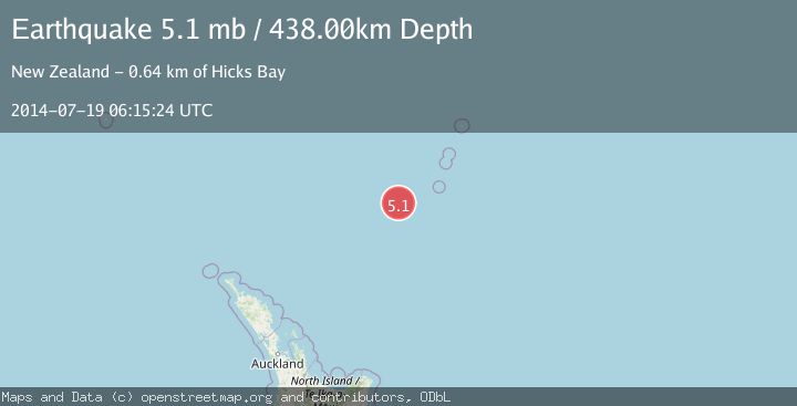
A 5.1 magnitude earthquake struck on KERMADEC ISLANDS REGION, at Sat, 19 Jul 2014 06:15:24 GMT. Depth: 438km. Reviewed by EMSC seismologists, this moderate quake occurred at a magnitude type of mb.
Magnitude
5.1
mb
Source
EMSC
Intensity
-
Agency Reports
1 Sources| Source | Magnitude | Depth | Time |
|---|---|---|---|
| EMSCPrimary | 5.1 | 438 km | 11 years ago |
Earthquake Details
AutomaticEvent IDemsc_EMSC_20140719_0000014
Tsunami PotentialNo
Magnitude Typemb
Nearest Places
- Oliver Knoll90.1 km
- Speight Knoll95.9 km
- Havre Trough98.6 km
- Haungaroa Seamount109.6 km
- Star of Bengal Bank137.8 km
Comments
Join the discussion about this event.
Latest Earthquakes
1.9Mag
6 km NW of Pinnacles, CA
Time2 minutes ago
Depth4.82 km
SourceUSGS (Automatic)
1.2Mag
Southern Yukon Territory, Canada
Time14 minutes ago
Depth0.00 km
SourceVYT (Automatic)
3.6Mag
Jujuy, Argentina
Time14 minutes ago
Depth228.27 km
SourceVYT (Automatic)
1.3Mag
2 km N of The Geysers, CA
Time22 minutes ago
Depth0.17 km
SourceUSGS (Automatic)
1.6Mag
3 km ESE of Berkeley, CA
Time23 minutes ago
Depth9.87 km
SourceUSGS (Automatic)
Nearby Earthquakes
4.4Mag
KERMADEC ISLANDS REGION
Time1 month ago
Depth454.80 km
SourceNEIC (Automatic)
5.3Mag
KERMADEC ISLANDS REGION
Time5 years ago
Depth485.00 km
SourceEMSC (Automatic)
5.2Mag
KERMADEC ISLANDS REGION
Time4 years ago
Depth400.00 km
SourceEMSC (Automatic)
4.0Mag
KERMADEC ISLANDS REGION
Time4 years ago
Depth467.00 km
SourceGNS (Automatic)
5.1Mag
KERMADEC ISLANDS REGION
Time9 years ago
Depth506.00 km
SourceEMSC (Automatic)