Earthquake MOLUCCA SEA
Fri, 17 Mar 2017 06:59:49 GMT
Time8 years ago
Location
0.9700, 126.2300
Depth
68.0 KM
Event Summary
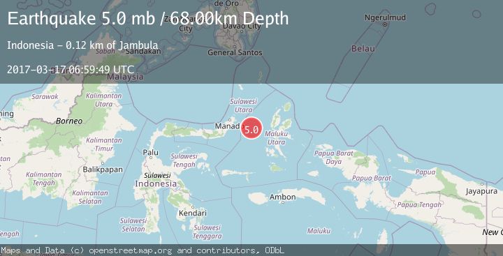
A 5.0 magnitude earthquake struck on MOLUCCA SEA, at Fri, 17 Mar 2017 06:59:49 GMT. Depth: 68km. Reviewed by EMSC seismologists, this moderate quake occurred at a magnitude type of mb.
Magnitude
5.0
mb
Source
EMSC
Intensity
-
Agency Reports
1 Sources| Source | Magnitude | Depth | Time |
|---|---|---|---|
| EMSCPrimary | 5.0 | 68 km | 8 years ago |
Earthquake Details
AutomaticEvent IDemsc_EMSC_20170317_0000032
Tsunami PotentialNo
Magnitude Typemb
Nearest Places
- Pulau Gureda9.4 km
- Kelurahan Tifure9.5 km
- Pulau Tifore9.9 km
- Kelurahan Pantai Sagu10.5 km
- Tanjung Geranomaderi37.1 km
Comments
Join the discussion about this event.
Latest Earthquakes
2.9Mag
Central Alaska
Time13 hours ago
Depth0.00 km
SourceVYT (Automatic)
1.9Mag
Kenai Peninsula, Alaska
Time13 hours ago
Depth67.87 km
SourceVYT (Automatic)
1.2Mag
Southeastern Alaska
Time13 hours ago
Depth35.28 km
SourceVYT (Automatic)
3.3Mag
off the coast of Libertador O'Higgins, Chile
Time13 hours ago
Depth10.00 km
SourceVYT (Automatic)
1.0Mag
6 km SSW of Redlands, CA
Time13 hours ago
Depth10.39 km
SourceUSGS (Automatic)
Nearby Earthquakes
4.0Mag
MOLUCCA SEA
Time1 year ago
Depth38.00 km
SourceBMKG (Automatic)
4.6Mag
MOLUCCA SEA
Time1 month ago
Depth46.00 km
SourceEMSC (Automatic)
5.3Mag
MOLUCCA SEA
Time9 years ago
Depth60.00 km
SourceEMSC (Automatic)
5.6Mag
MOLUCCA SEA
Time4 years ago
Depth2.00 km
SourceEMSC (Automatic)
4.0Mag
MOLUCCA SEA
Time7 years ago
Depth11.00 km
SourceDJA (Automatic)