Earthquake NEAR N COAST OF NEW GUINEA, PNG.
Sat, 19 May 2018 09:36:27 GMT
Time7 years ago
Location
-4.7900, 144.8900
Depth
69.0 KM
Event Summary
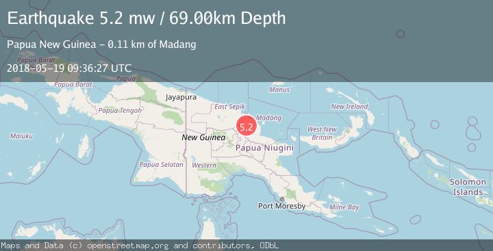
A 5.2 magnitude earthquake struck on NEAR N COAST OF NEW GUINEA, PNG., at Sat, 19 May 2018 09:36:27 GMT. Depth: 69km. Reviewed by EMSC seismologists, this moderate quake occurred at a magnitude type of mw.
Magnitude
5.2
mw
Source
EMSC
Intensity
-
Agency Reports
1 Sources| Source | Magnitude | Depth | Time |
|---|---|---|---|
| EMSCPrimary | 5.2 | 69 km | 7 years ago |
Earthquake Details
AutomaticEvent IDemsc_EMSC_20180519_0000063
Tsunami PotentialNo
Magnitude Typemw
Nearest Places
- Uburusiki River3.2 km
- Aingurum River3.9 km
- Mutungu7.7 km
- Midsivindi Mutang7.8 km
- Pondoma Area9.7 km
Comments
Join the discussion about this event.
Latest Earthquakes
1.7Mag
STRAIT OF GIBRALTAR
Time9 minutes ago
Depth15.80 km
SourceIGN (Automatic)
3.2Mag
Croatia-Bosnia and Herzegovina border region
Time13 minutes ago
Depth63.84 km
SourceVYT (Automatic)
1.0Mag
Southern Alaska
Time18 minutes ago
Depth13.43 km
SourceVYT (Automatic)
2.7Mag
Southeastern Alaska
Time19 minutes ago
Depth138.92 km
SourceVYT (Automatic)
1.7Mag
8 km ENE of Calumet, Oklahoma
Time19 minutes ago
Depth6.03 km
SourceUSGS (Automatic)
Nearby Earthquakes
5.6Mag
NEAR N COAST OF NEW GUINEA, PNG.
Time8 years ago
Depth70.00 km
SourceEMSC (Automatic)
5.0Mag
near the north coast of New Guinea, Papua New Guinea
Time6 days ago
Depth187.62 km
SourceVYT (Automatic)
5.1Mag
NEAR N COAST OF NEW GUINEA, PNG.
Time16 years ago
Depth80.00 km
SourceEMSC (Automatic)
5.3Mag
NEAR N COAST OF NEW GUINEA, PNG.
Time5 years ago
Depth30.00 km
SourceEMSC (Automatic)
4.5Mag
NEAR N COAST OF NEW GUINEA, PNG.
Time1 month ago
Depth92.70 km
SourceNEIC (Automatic)