Earthquake MOLUCCA SEA
Sat, 02 Feb 2019 01:11:01 GMT
Time7 years ago
Location
0.3700, 125.4200
Depth
60.0 KM
Event Summary
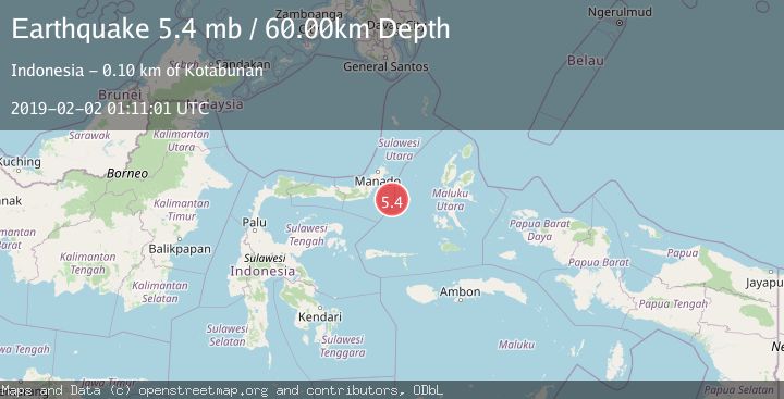
A 5.4 magnitude earthquake struck on MOLUCCA SEA, at Sat, 02 Feb 2019 01:11:01 GMT. Depth: 60km. Reviewed by EMSC seismologists, this moderate quake occurred at a magnitude type of mb.
Magnitude
5.4
mb
Source
EMSC
Intensity
-
Agency Reports
1 Sources| Source | Magnitude | Depth | Time |
|---|---|---|---|
| EMSCPrimary | 5.4 | 60 km | 7 years ago |
Earthquake Details
AutomaticEvent IDemsc_EMSC_20190202_0000005
Tsunami PotentialNo
Magnitude Typemb
Nearest Places
- Maluku Sea66.1 km
- Pulau Pakolor85.3 km
- Pulau Balingbaling87.3 km
- Pulau Bentenan88.0 km
- Pulau Punten88.4 km
Comments
Join the discussion about this event.
Latest Earthquakes
0.7Mag
8 km NW of The Geysers, CA
Time3 minutes ago
Depth1.59 km
SourceUSGS (Automatic)
1.2Mag
Southern Alaska
Time5 minutes ago
Depth16.72 km
SourceVYT (Automatic)
1.6Mag
49 km W of Mentone, Texas
Time5 minutes ago
Depth4.59 km
SourceUSGS (Automatic)
3.1Mag
northern Colombia
Time7 minutes ago
Depth219.97 km
SourceVYT (Automatic)
2.2Mag
Sumbawa Region, Indonesia
Time9 minutes ago
Depth15.54 km
SourceBMKG
Nearby Earthquakes
5.7Mag
MOLUCCA SEA
Time13 years ago
Depth60.00 km
SourceEMSC (Automatic)
3.6Mag
Northern Molucca Sea
Time1 week ago
Depth6.50 km
SourceBMKG (Automatic)
4.0Mag
MOLUCCA SEA
Time6 years ago
Depth10.00 km
SourceDJA (Automatic)
4.0Mag
MOLUCCA SEA
Time5 years ago
Depth10.00 km
SourceDJA (Automatic)
5.1Mag
MOLUCCA SEA
Time5 years ago
Depth70.00 km
SourceEMSC (Automatic)