Earthquake MOLUCCA SEA
Sun, 23 Feb 2020 02:08:06 GMT
Time5 years ago
Location
-0.1900, 125.2500
Depth
48.0 KM
Event Summary
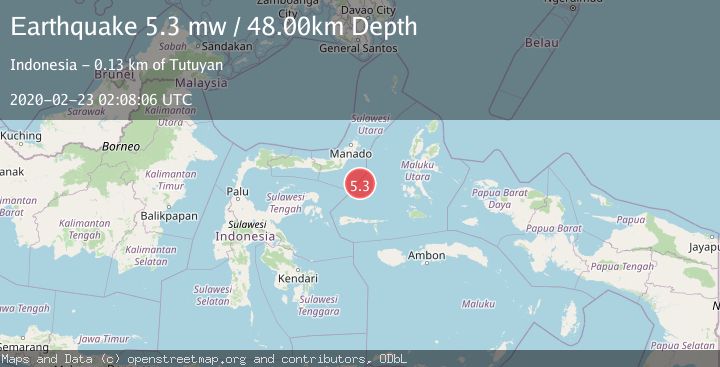
A 5.3 magnitude earthquake struck on MOLUCCA SEA, at Sun, 23 Feb 2020 02:08:06 GMT. Depth: 48km. Reviewed by EMSC seismologists, this moderate quake occurred at a magnitude type of mw.
Magnitude
5.3
mw
Source
EMSC
Intensity
-
Agency Reports
1 Sources| Source | Magnitude | Depth | Time |
|---|---|---|---|
| EMSCPrimary | 5.3 | 48 km | 5 years ago |
Earthquake Details
AutomaticEvent IDemsc_EMSC_20200223_0000015
Tsunami PotentialNo
Magnitude Typemw
Nearest Places
- Batu Mandi109.0 km
- Tanjung Flesko110.3 km
- Tanjung Palureoi110.7 km
- Pulau Lampu111.4 km
- Tanjung Payongan111.5 km
Comments
Join the discussion about this event.
Latest Earthquakes
4.8Mag
Antofagasta, Chile
Time3 hours ago
Depth196.90 km
SourceVYT (Automatic)
2.9Mag
Antofagasta, Chile
Time3 hours ago
Depth116.58 km
SourceVYT (Automatic)
3.0Mag
Minahasa, Sulawesi, Indonesia
Time3 hours ago
Depth288.45 km
SourceVYT (Automatic)
1.8Mag
Central Alaska
Time3 hours ago
Depth103.03 km
SourceVYT (Automatic)
2.6Mag
Northern Sumatra, Indonesia
Time3 hours ago
Depth20.84 km
SourceBMKG
Nearby Earthquakes
5.4Mag
MOLUCCA SEA
Time8 years ago
Depth60.00 km
SourceEMSC (Automatic)
5.1Mag
MOLUCCA SEA
Time4 years ago
Depth60.00 km
SourceEMSC (Automatic)
4.6Mag
Southern Molucca Sea
Time3 weeks ago
Depth10.00 km
SourceBMKG (Automatic)
5.6Mag
MOLUCCA SEA
Time19 years ago
Depth30.00 km
SourceEMSC (Automatic)
5.0Mag
MOLUCCA SEA
Time6 years ago
Depth47.00 km
SourceEMSC (Automatic)